


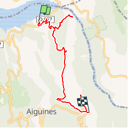

16,8 km | 31 km-effort


Usuario


Aplicación GPS de excursión GRATIS
 SityTrail
IGN / Institutos geográficos
SityTrail World
El mundo es suyo
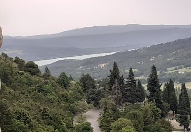
Ruta Senderismo de 7,5 km a descubrir en Provenza-Alpes-Costa Azul, Var, Aiguines. Esta ruta ha sido propuesta por jmheydorff.
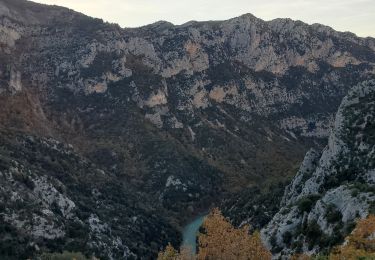
Faire un échange de voitures, entre le début et la fin de la rando: 8 kms 900m - 500m ou l'inverse 4h00

Senderismo
Senderismo
Senderismo

Senderismo
Senderismo
Senderismo
Senderismo
Senderismo
Senderismo