


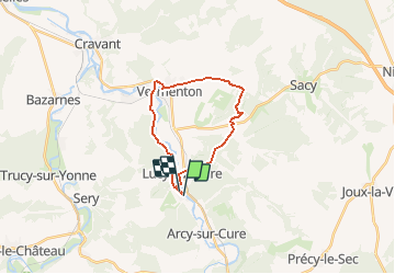

11,7 km | 15,8 km-effort


Usuario


Aplicación GPS de excursión GRATIS
 SityTrail
IGN / Institutos geográficos
SityTrail World
El mundo es suyo
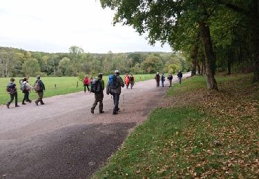
Ruta Senderismo de 19,3 km a descubrir en Borgoña-Franco Condado, Yonne, Bessy-sur-Cure. Esta ruta ha sido propuesta por fabrixte.
Bessy sur cure, ancienne route napoléon, le val du nuit, Vermenton (marché le vendredi), GR654.

Senderismo
Senderismo
Senderismo

Senderismo
Senderismo
Senderismo

Senderismo
Senderismo
Senderismo