


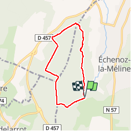

3,4 km | 4,2 km-effort

Usuario


Aplicación GPS de excursión GRATIS
 SityTrail
IGN / Institutos geográficos
SityTrail World
El mundo es suyo
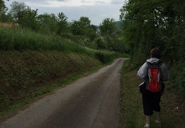
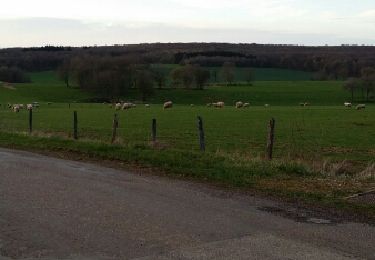
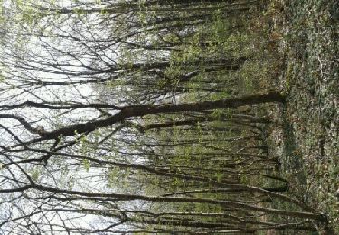
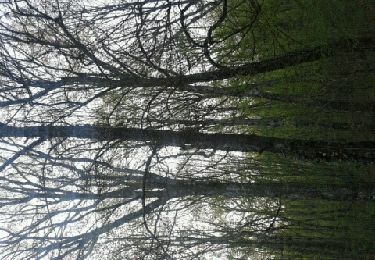
Ruta Senderismo de 6 km a descubrir en Borgoña-Franco Condado, Alto Saona, Échenoz-la-Méline. Esta ruta ha sido propuesta por nicolasdresse.
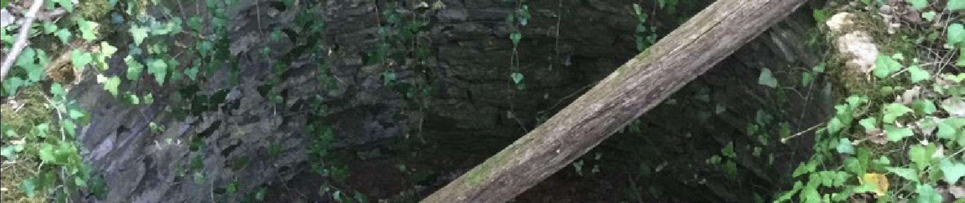
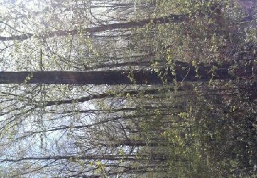
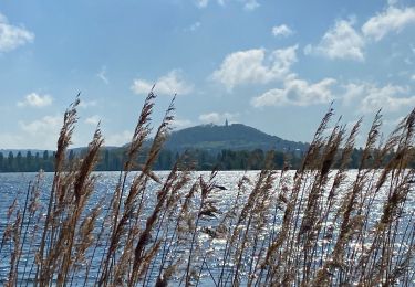
En passant pas le trou au loup, une des plus belle vue de vesoul sur un parcours ombragé.

Senderismo

Senderismo
Senderismo
Senderismo
Senderismo
Senderismo
Senderismo
Senderismo
Senderismo