


8,5 km | 12 km-effort


Usuario


Aplicación GPS de excursión GRATIS
 SityTrail
IGN / Institutos geográficos
SityTrail World
El mundo es suyo
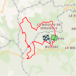
Ruta Senderismo de 18,1 km a descubrir en Auvergne-Rhône-Alpes, Alto Loira, Grèzes. Esta ruta ha sido propuesta por jeff66.
TOUR DU MONTCHOUVET 43 - départ entre Bugeac et Le Menial - chante perdrix - les Bartes - le suc - zouriat - Poutarelle - vue sur Servieres - Le Courniet - site archéologique - les Hivers - le Soubirot - le MONTCHOUVET - Ronc de Chazeyrat - D 33 - Combe -


A pie
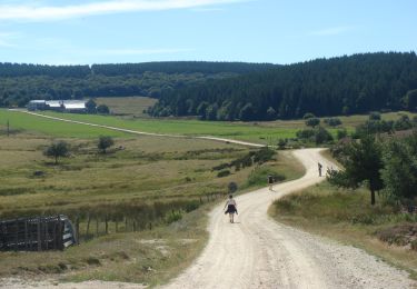
Senderismo
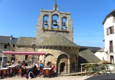
Senderismo

Senderismo

Caballo
Senderismo
Senderismo
Senderismo
Paseo ecuestre