


10,7 km | 14,8 km-effort


Usuario


Aplicación GPS de excursión GRATIS
 SityTrail
IGN / Institutos geográficos
SityTrail World
El mundo es suyo
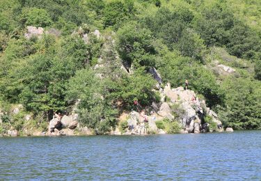
Ruta Bici de montaña de 32 km a descubrir en Auvergne-Rhône-Alpes, Puy-de-Dôme, Manzat. Esta ruta ha sido propuesta por auvtopo.
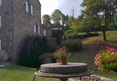
--Rando tracée sur le terrain --
Boucle avec pas mal de petit single sympa. Attention la remontée après le tour de la Sep est raide et pleine de cailloux (possibilité de l'éviter en suivant la route après le barrage mais moins drôle...). Attention le petit single du Puy de la Côte est privé...
Senderismo
Senderismo
A pie
A pie
A pie

Bici de montaña
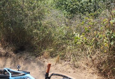
Bici de montaña
Senderismo
Senderismo