


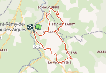


18,4 km | 24 km-effort


Usuario


Aplicación GPS de excursión GRATIS
 SityTrail
IGN / Institutos geográficos
SityTrail World
El mundo es suyo
Ruta Senderismo de 10,5 km a descubrir en Occitania, Lozère, Brion. Esta ruta ha sido propuesta por jeff66.
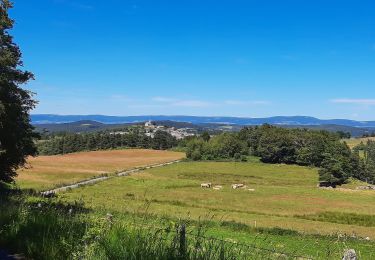
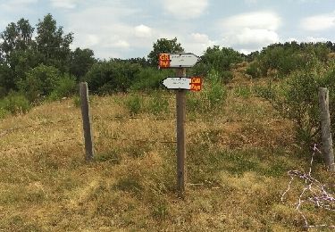
LA CHALDETTE 48 - D12 - la Prugne - Puech de la Chios - la Valentine - le Fau - Reyrac - le Cheylaret - rocher du Cheylaret vierge table d'orientation - vue panoramique a 360 degrés - GR de pays du tour des monts d'Aubrac - vue sur le truc du Cheylaret - Reyrac -


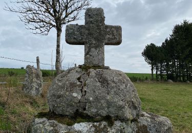
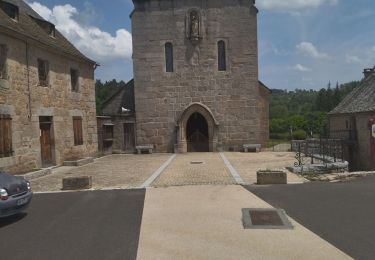
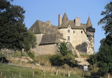
24 fotos en total. Haga clic en una foto para mostrarlas todas en la galería.
Senderismo

Senderismo
Senderismo

Senderismo
Senderismo

Senderismo

Senderismo