


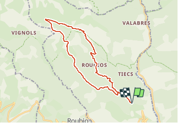

18,1 km | 33 km-effort


Usuario


Aplicación GPS de excursión GRATIS
 SityTrail
IGN / Institutos geográficos
SityTrail World
El mundo es suyo
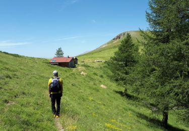
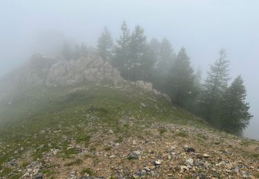
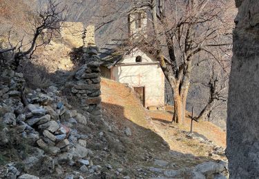
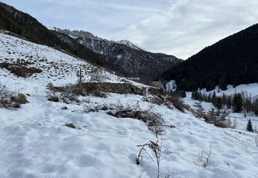
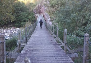
Ruta Senderismo de 18 km a descubrir en Provenza-Alpes-Costa Azul, Alpes Marítimos, Roure. Esta ruta ha sido propuesta por fredopaca.
départ balise 241 vers 254 250 refuge de LONGON Gr5 balise 278 prendre le Pervoux mont Autcellier redescendre crête de la Clauetta balise 252 et 251 foret de la Fracha retour balise 254 et 241
Senderismo

A pie
A pie
Senderismo
Senderismo
Senderismo
Senderismo
Senderismo
Senderismo
supernement varié. marmotte