


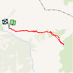

7,2 km | 11 km-effort

Usuario


Aplicación GPS de excursión GRATIS
 SityTrail
IGN / Institutos geográficos
SityTrail World
El mundo es suyo
Ruta Senderismo de 7 km a descubrir en Provenza-Alpes-Costa Azul, Altos Alpes, Crévoux. Esta ruta ha sido propuesta por BLANCHET.
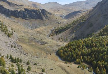
une des classique de l'Embrunais.
Quasi - incontournable si l'on rets dans le coin plus de 15 jours.


Senderismo

Otra actividad

Senderismo

Senderismo

Senderismo

Senderismo

Senderismo
Raquetas de nieve
Senderismo
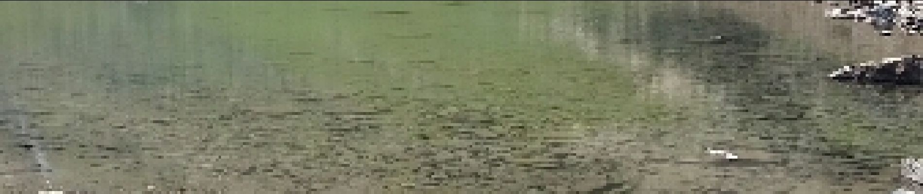
Bien que les vues soient belles, la première partie montante est très cassante, très caillouteuse, et raide ! Question cardio il faut avoir une bonne santé. Après le but étant un lac, en août 2017...il est asséché donc deception. Du coup je ne la recommande pas spécialement.