


9,3 km | 22 km-effort


Usuario


Aplicación GPS de excursión GRATIS
 SityTrail
IGN / Institutos geográficos
SityTrail World
El mundo es suyo
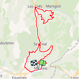
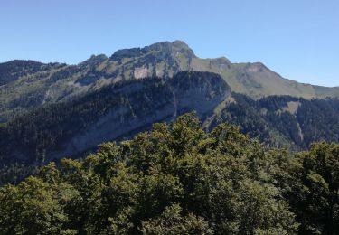
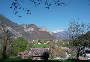
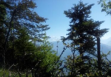
Ruta Bicicleta de 53 km a descubrir en Auvergne-Rhône-Alpes, Alta Saboya, Val de Chaise. Esta ruta ha sido propuesta por bosses21.
Col des Essérieux - 755 m
Col du Marais - 833 m
Col de Plan Bois - 1299 m
Col de l'Epine - 947 m

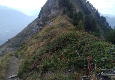
Senderismo
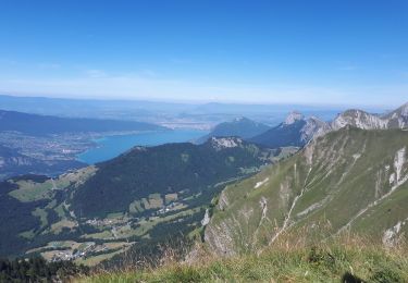
Senderismo
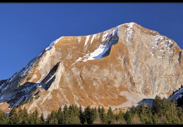
Senderismo

Senderismo
Senderismo
Senderismo
Senderismo
Senderismo
Senderismo