![](/images/other/stat-length.png)
![Excursión A pie Amber Valley - Eadric's Way (red) - Photo](https://media.geolcdn.com/t/1900/400/cedc5b09-b9e5-45ad-ad51-6e762a8517c9.jpeg&format=pjpeg&maxdim=2)
Eadric's Way (red)
SityTrail - itinéraires balisés pédestres
Tous les sentiers balisés d’Europe GUIDE+
![Longitud](/images/other/stat-length.png)
Longitud
3,2 km
![Altitud máxima](https://static1.geolcdn.com/siteimages/upload/files/1508320355ic_sort_altitude_max_24dp.png)
Altitud máxima
200 m
![Desnivel positivo](https://static1.geolcdn.com/siteimages/upload/files/1508320355ic_sort_den_pos_24dp.png)
Desnivel positivo
92 m
![Km-Effort](/images/other/stat-length.png)
Km-Effort
4,4 km
![Altitud mínima](https://static1.geolcdn.com/siteimages/upload/files/1508320355ic_sort_altitude_min_24dp.png)
Altitud mínima
105 m
![Desnivel negativo](https://static1.geolcdn.com/siteimages/upload/files/1508320355ic_sort_den_neg_24dp.png)
Desnivel negativo
93 m
![Boucle](https://static1.geolcdn.com/siteimages/upload/files/16400158638029165_repeat_loop_refresh_sync_direction_icon.png)
Boucle
Sí
Baliza
Fecha de creación :
2025-02-05 08:49:27.663
Última modificación :
2025-02-05 08:49:27.663
![A pie](https://static1.geolcdn.com/sitytour/trail-icons/100.png)
1h00
Dificultad : Fácil
![Escanee este código QR para abrir la excursión en la aplicación SityTrail](https://capi.geolives.com/qq0zvz2zws4bq2lad0pu/sitytour/trails/4340931/qr.png?size=200)
Aplicación GPS de excursión GRATIS
A propósito
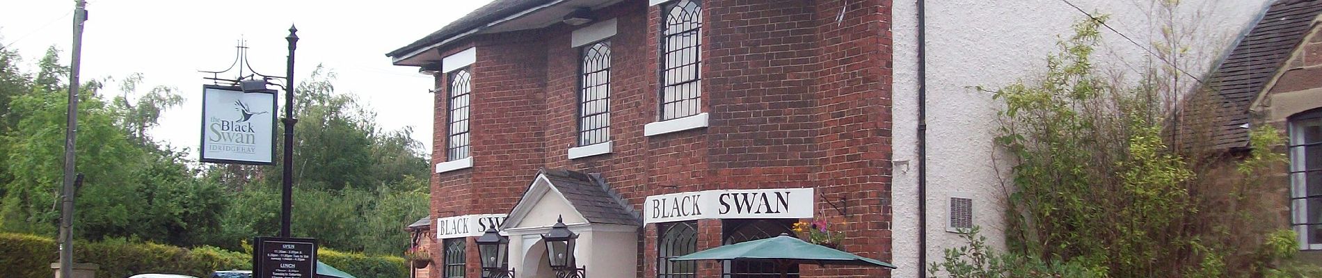
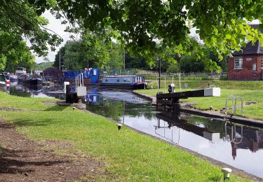
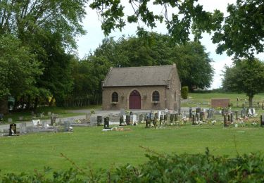
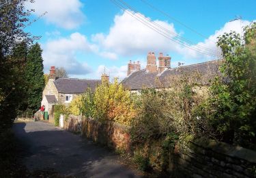
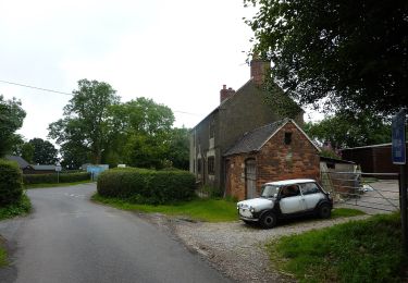
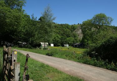
Ruta A pie de 3,2 km a descubrir en Inglaterra, Derbyshire, Amber Valley. Esta ruta ha sido propuesta por SityTrail - itinéraires balisés pédestres.
Descripción
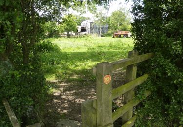
There is a slightly longer and a slightly shorter version of this. This is the shorter one.
Localización
País:
United Kingdom
Región :
Inglaterra
Departamento/provincia :
Derbyshire
Municipio :
Amber Valley
Localidad:
Unknown
Salida:(Dec)
Salida:(UTM)
595314 ; 5876911 (30U) N.
Comentarios
Excursiones cerca
![Excursión A pie Amber Valley - Broxtowe Country Trail - Photo](https://media.geolcdn.com/t/375/260/23e0ad2a-6ecf-4e98-b667-9d2f9d110d34.jpeg&format=jpg&maxdim=2)
![A pie A pie](https://static1.geolcdn.com/sitytour/trail-icons/100.png)
Broxtowe Country Trail
A pie
Muy difícil
Amber Valley,
Inglaterra,
Derbyshire,
United Kingdom
![](/images/other/stat-length.png)
46 km | 51 km-effort
11h 41min
![](https://static1.geolcdn.com/siteimages/upload/files/16400158638029165_repeat_loop_refresh_sync_direction_icon.png)
No
![Excursión A pie Bolsover - Tibshelf Walk - Photo](https://media.geolcdn.com/t/375/260/8a9fc3e4-7360-4aab-9f4c-452ed8f26e11.jpeg&format=jpg&maxdim=2)
![A pie A pie](https://static1.geolcdn.com/sitytour/trail-icons/100.png)
Tibshelf Walk
A pie
Fácil
Bolsover,
Inglaterra,
Derbyshire,
United Kingdom
![](/images/other/stat-length.png)
4,6 km | 5,7 km-effort
1h 17min
![](https://static1.geolcdn.com/siteimages/upload/files/16400158638029165_repeat_loop_refresh_sync_direction_icon.png)
Sí
![Excursión A pie Amber Valley - Amber Valley Routeways Walk 12 - Photo](https://media.geolcdn.com/t/375/260/880d3f46-7b6b-4c8f-90d3-8e588259fcd1.jpeg&format=jpg&maxdim=2)
![A pie A pie](https://static1.geolcdn.com/sitytour/trail-icons/100.png)
Amber Valley Routeways Walk 12
A pie
Fácil
Amber Valley,
Inglaterra,
Derbyshire,
United Kingdom
![](/images/other/stat-length.png)
4,8 km | 6,9 km-effort
1h 33min
![](https://static1.geolcdn.com/siteimages/upload/files/16400158638029165_repeat_loop_refresh_sync_direction_icon.png)
No
![Excursión A pie Amber Valley - Amber Valley Routeway Walk 1 - Photo](https://media.geolcdn.com/t/375/260/ef974cbb-8e9d-41c6-8fcd-d1aa8706949c.jpeg&format=jpg&maxdim=2)
![A pie A pie](https://static1.geolcdn.com/sitytour/trail-icons/100.png)
Amber Valley Routeway Walk 1
A pie
Fácil
Amber Valley,
Inglaterra,
Derbyshire,
United Kingdom
![](/images/other/stat-length.png)
8,2 km | 10,1 km-effort
2h 17min
![](https://static1.geolcdn.com/siteimages/upload/files/16400158638029165_repeat_loop_refresh_sync_direction_icon.png)
Sí
![Excursión A pie North East Derbyshire - North Wingfield Walk - Photo](https://media.geolcdn.com/t/375/260/5d83c5f8-1942-46e6-ac5f-27b706052c45.jpeg&format=jpg&maxdim=2)
![A pie A pie](https://static1.geolcdn.com/sitytour/trail-icons/100.png)
North Wingfield Walk
A pie
Fácil
North East Derbyshire,
Inglaterra,
Derbyshire,
United Kingdom
![](/images/other/stat-length.png)
4,6 km | 5,4 km-effort
1h 14min
![](https://static1.geolcdn.com/siteimages/upload/files/16400158638029165_repeat_loop_refresh_sync_direction_icon.png)
Sí
![Excursión A pie Bolsover - Astwith Walk - Photo](https://media.geolcdn.com/t/375/260/f1e78084-3de2-439b-940a-de35a2a44a52.jpeg&format=jpg&maxdim=2)
![A pie A pie](https://static1.geolcdn.com/sitytour/trail-icons/100.png)
Astwith Walk
A pie
Fácil
Bolsover,
Inglaterra,
Derbyshire,
United Kingdom
![](/images/other/stat-length.png)
7,6 km | 9,1 km-effort
2h 4min
![](https://static1.geolcdn.com/siteimages/upload/files/16400158638029165_repeat_loop_refresh_sync_direction_icon.png)
Sí
![Excursión A pie Derbyshire Dales - Royal Shrovetide Challenge Walk (down'ards) - Photo](https://media.geolcdn.com/t/375/260/990ab48e-761e-45fb-8ff4-d5efa5eef851.jpeg&format=jpg&maxdim=2)
![A pie A pie](https://static1.geolcdn.com/sitytour/trail-icons/100.png)
Royal Shrovetide Challenge Walk (down'ards)
A pie
Fácil
Derbyshire Dales,
Inglaterra,
Derbyshire,
United Kingdom
![](/images/other/stat-length.png)
4,8 km | 5,9 km-effort
1h 21min
![](https://static1.geolcdn.com/siteimages/upload/files/16400158638029165_repeat_loop_refresh_sync_direction_icon.png)
No
![Excursión A pie Staffordshire Moorlands - Hamps Way - Photo](https://media.geolcdn.com/t/375/260/8ee522b2-603c-4b6d-a5cc-77998481750e.jpeg&format=jpg&maxdim=2)
![A pie A pie](https://static1.geolcdn.com/sitytour/trail-icons/100.png)
Hamps Way
A pie
Fácil
Staffordshire Moorlands,
Inglaterra,
Staffordshire,
United Kingdom
![](/images/other/stat-length.png)
4,9 km | 5,4 km-effort
1h 14min
![](https://static1.geolcdn.com/siteimages/upload/files/16400158638029165_repeat_loop_refresh_sync_direction_icon.png)
No
![Excursión A pie North East Derbyshire - Pilsley Walk - Photo](https://media.geolcdn.com/t/375/260/731c70a8-8797-485f-af62-14cae3ced22f.jpeg&format=jpg&maxdim=2)
![A pie A pie](https://static1.geolcdn.com/sitytour/trail-icons/100.png)
Pilsley Walk
A pie
Fácil
North East Derbyshire,
Inglaterra,
Derbyshire,
United Kingdom
![](/images/other/stat-length.png)
5 km | 5,9 km-effort
1h 20min
![](https://static1.geolcdn.com/siteimages/upload/files/16400158638029165_repeat_loop_refresh_sync_direction_icon.png)
Sí