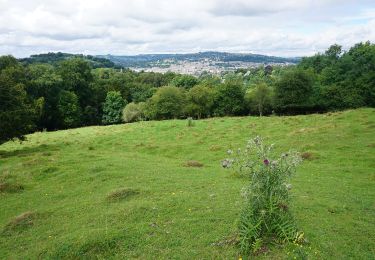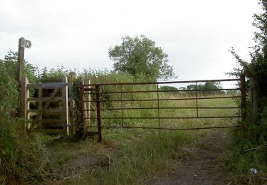

The Dramway
SityTrail - itinéraires balisés pédestres
Tous les sentiers balisés d’Europe GUIDE+

Longitud
14,9 km

Altitud máxima
85 m

Desnivel positivo
146 m

Km-Effort
16,7 km

Altitud mínima
10 m

Desnivel negativo
87 m
Boucle
No
Baliza
Fecha de creación :
2025-02-04 10:52:50.934
Última modificación :
2025-02-05 08:12:47.397
3h47
Dificultad : Fácil

Aplicación GPS de excursión GRATIS
A propósito
Ruta A pie de 14,9 km a descubrir en Inglaterra, South Gloucestershire. Esta ruta ha sido propuesta por SityTrail - itinéraires balisés pédestres.
Descripción
Símbolo: Green signs with logo
Localización
País:
United Kingdom
Región :
Inglaterra
Departamento/provincia :
South Gloucestershire
Municipio :
Unknown
Localidad:
Unknown
Salida:(Dec)
Salida:(UTM)
535587 ; 5697380 (30U) N.
Comentarios
Excursiones cerca

Prior's Wood


A pie
Fácil
,
Inglaterra,
North Somerset,
United Kingdom

3,1 km | 4,3 km-effort
58min
Sí

Bath Skyline


A pie
Fácil
,
Inglaterra,
Bath and North East Somerset,
United Kingdom

9,3 km | 12 km-effort
2h 43min
Sí

Three Peaks Walk


A pie
Difícil
,
Inglaterra,
Bath and North East Somerset,
United Kingdom

27 km | 34 km-effort
7h 45min
Sí

Jubilee Way (Gloucestershire)


A pie
Fácil
,
Inglaterra,
South Gloucestershire,
United Kingdom

4,3 km | 4,7 km-effort
1h 3min
No

un petit tour dans Bristol


Senderismo
Muy difícil
,
Inglaterra,
City of Bristol,
United Kingdom

8,2 km | 9,9 km-effort
2h 9min
Sí

j9 Bath


Senderismo
Difícil
,
Inglaterra,
Bath and North East Somerset,
United Kingdom

12,5 km | 14,6 km-effort
3h 1min
No

j8 Bradford on avon


Senderismo
Medio
,
Inglaterra,
Bath and North East Somerset,
United Kingdom

9,9 km | 11,4 km-effort
2h 35min
No

j7 Bath Skyline, vergers, cimetière


Senderismo
Difícil
,
Inglaterra,
Bath and North East Somerset,
United Kingdom

10,7 km | 14,1 km-effort
3h 11min
Sí


 SityTrail


