


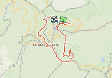

14 km | 19,8 km-effort


Usuario


Aplicación GPS de excursión GRATIS
 SityTrail
IGN / Institutos geográficos
SityTrail World
El mundo es suyo
Ruta Senderismo de 16,1 km a descubrir en Gran Este, Alto Rin, Linthal. Esta ruta ha sido propuesta por clem08.
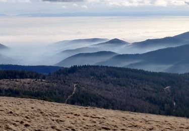
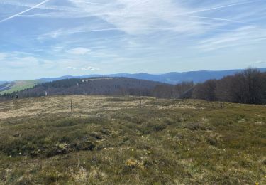
Temps sec et doux (8•C) mais beaucoup de vent quelques éclaircies au Markstein pause de midi à la FA du Markstein bel endroit très chaleureux et agréable, très bon accueil et repas délicieux retour au lac et les premières gouttes de pluie

Senderismo

Senderismo

Senderismo

Senderismo

A pie
Senderismo

Bici de montaña
Senderismo

Senderismo