


11,3 km | 16,2 km-effort


Usuario


Aplicación GPS de excursión GRATIS
 SityTrail
IGN / Institutos geográficos
SityTrail World
El mundo es suyo
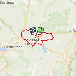
Ruta Senderismo de 20 km a descubrir en Gran Este, Vosgos, Xonrupt-Longemer. Esta ruta ha sido propuesta por joelclaudel.
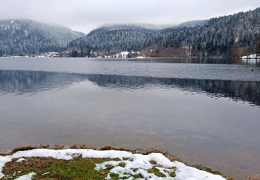
Tour de Xonrupt Longemer.
Départ Auberge de la Jeunesse, Col de Martimpré, le Pont des Fées, lac de Xonrupt Longemer, Col du Port des Planches, col du Surceneux

Senderismo

Senderismo

Senderismo

Senderismo

Senderismo

Senderismo
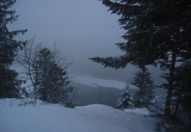
Raquetas de nieve
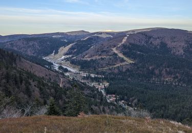
Senderismo
Senderismo