


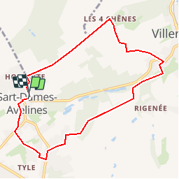


13,3 km | 16,4 km-effort

Usuario GUIDE


Aplicación GPS de excursión GRATIS
 SityTrail
IGN / Institutos geográficos
SityTrail World
El mundo es suyo
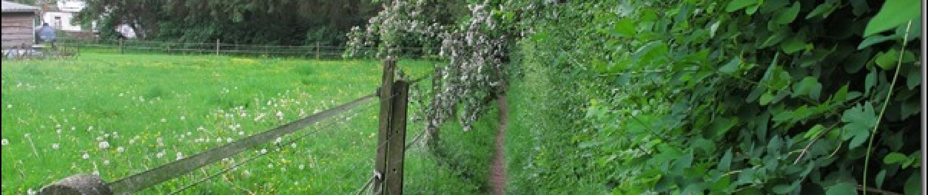
Ruta Senderismo de 8,1 km a descubrir en Valonia, Brabante Valón, Villers-la-Ville. Esta ruta ha sido propuesta por pascalou73.
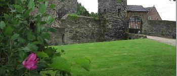
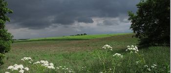
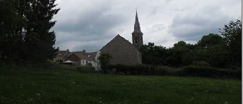
Le départ de la rando à la place de sart dames avelinesdu bois Pigeolet et le châteaux le châtelet .Belle rando familiale à traversant champs et bois.bonne rando


Senderismo

Senderismo

Senderismo

Senderismo

Senderismo

Senderismo

Senderismo

Senderismo

Senderismo