


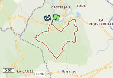

12,5 km | 15,3 km-effort


Usuario

Aplicación GPS de excursión GRATIS
 SityTrail
IGN / Institutos geográficos
SityTrail World
El mundo es suyo
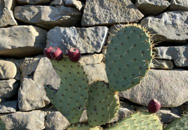
Ruta Senderismo de 6,7 km a descubrir en Auvergne-Rhône-Alpes, Ardecha, Berrias-et-Casteljau. Esta ruta ha sido propuesta por ganinette.
ballade tranquille .belle vue sur le plan d'eau.
a faire hors chaleur car tres peu d'ombre.
Senderismo
Senderismo
Senderismo

Senderismo

Senderismo

Bici de montaña
Senderismo
Senderismo
Senderismo