


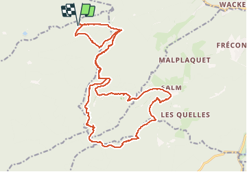

12,6 km | 16,9 km-effort


Usuario


Aplicación GPS de excursión GRATIS
 SityTrail
IGN / Institutos geográficos
SityTrail World
El mundo es suyo
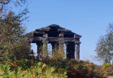
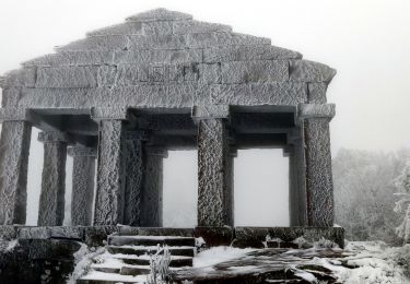
Ruta Otra actividad de 25 km a descubrir en Gran Este, Vosgos, Moussey. Esta ruta ha sido propuesta por grattounette.
tête des blanches roches, la chatte pendue, tête pelée, château de Salm, étang du coucou, la chapelle de bipierre

Senderismo

Senderismo

Senderismo

Senderismo
Senderismo
Senderismo
Senderismo
Senderismo
Senderismo