


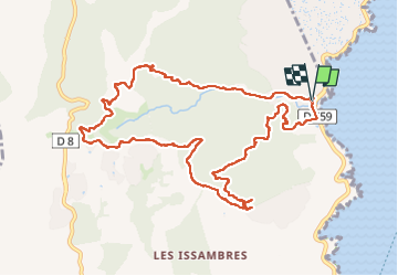

6,5 km | 7 km-effort


Usuario


Aplicación GPS de excursión GRATIS
 SityTrail
IGN / Institutos geográficos
SityTrail World
El mundo es suyo
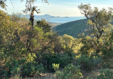
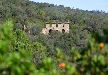
Ruta Senderismo de 12,2 km a descubrir en Provenza-Alpes-Costa Azul, Var, Roquebrune-sur-Argens. Esta ruta ha sido propuesta por leopold.claude.
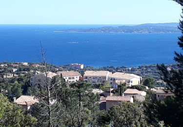
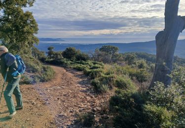
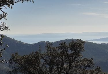
Belle randonnée facile avec des points de vue superbes sur la forêt de chênes liège, d'oliviers, de mimosas et le lentisques.

Senderismo

Senderismo
Senderismo
Senderismo
Senderismo
Senderismo
Senderismo
Senderismo
Senderismo