


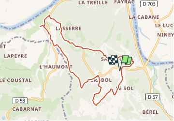

12,9 km | 17,3 km-effort

Randonner Découvrir Partager


Aplicación GPS de excursión GRATIS
 SityTrail
IGN / Institutos geográficos
SityTrail World
El mundo es suyo
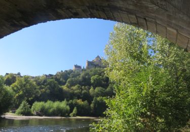
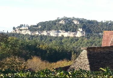
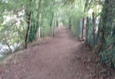
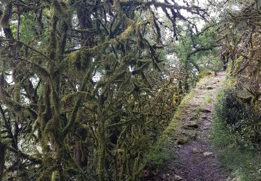
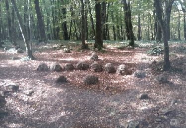
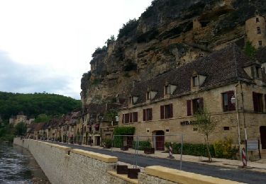
Ruta Senderismo de 10,1 km a descubrir en Nueva Aquitania, Dordogne, Castelnaud-la-Chapelle. Esta ruta ha sido propuesta por RANDOTHEQUE ASH RANDONNEE ET MONTAGNE.
j2 -N1
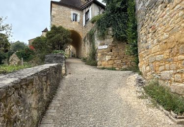
Point de départ: Domaine de Vielcroze. 24250. Castelnaud- la- Chapelle.
Km= 10
Km/ eff= 15
IBP= 42
Dev = 342.27 m
Alt= 222.34 m
Alt Initiale= 154 m
Temps ST: 3H21
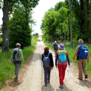
Senderismo
Senderismo
Senderismo
Senderismo
Senderismo

Senderismo

Senderismo
Motor
Senderismo