


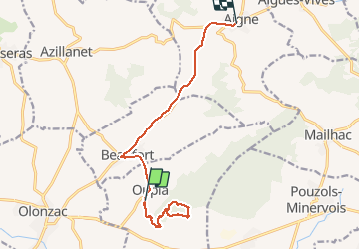

12,6 km | 17,8 km-effort

Usuario


Aplicación GPS de excursión GRATIS
 SityTrail
IGN / Institutos geográficos
SityTrail World
El mundo es suyo
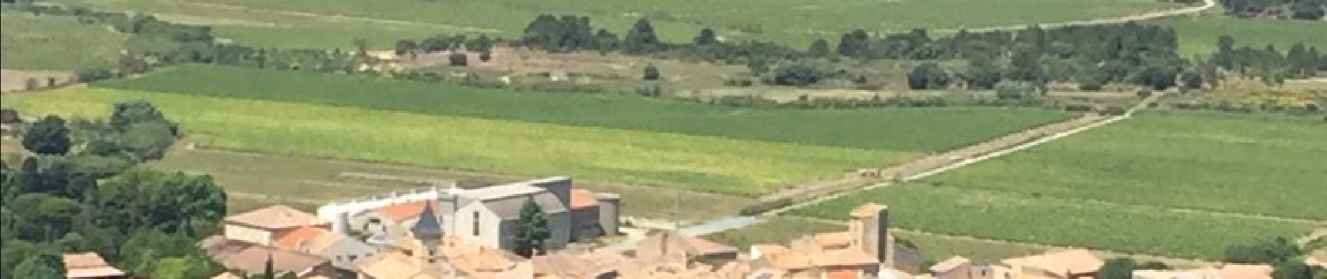
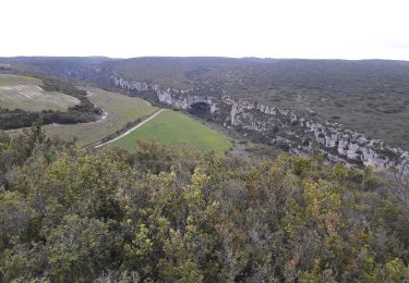
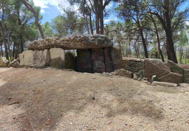
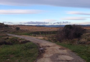
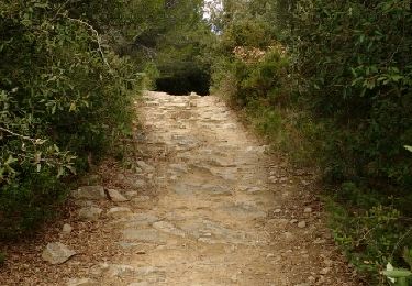
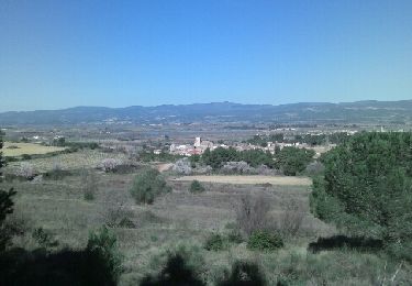
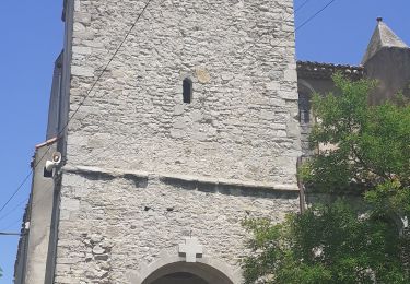
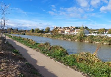
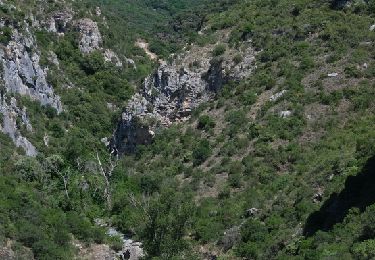
Ruta Senderismo de 13,7 km a descubrir en Occitania, Hérault, Oupia. Esta ruta ha sido propuesta por mootman.
A gentle climb along well marked tracks and paths. Excellent views of the Minervois, Corbières, Massif de la Clappe and Montange Noire throughout.


Senderismo
Senderismo
Senderismo
Senderismo
Senderismo
Senderismo
Senderismo
Senderismo
Senderismo