


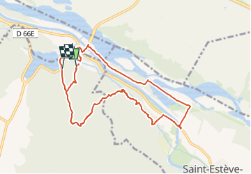

14 km | 14,9 km-effort


Usuario


Aplicación GPS de excursión GRATIS
 SityTrail
IGN / Institutos geográficos
SityTrail World
El mundo es suyo
Ruta Senderismo de 10,1 km a descubrir en Provenza-Alpes-Costa Azul, Bocas del Ródano, Rognes. Esta ruta ha sido propuesta por Fayolle Chantal.
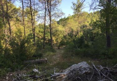
Belle randonnée en sous bois dans la 1ère partie,; dans la dernière partie traverser le pont sur canal qui mène à Cadenet. Reprendre la route de Lambesc sur 20m tourner à gauche sur un petit chemin jusqu'au petit pont qui enjambe le canal.
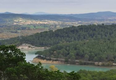
Pour troue le chemin contourner la vigne par la droite le chemin est de l'autre côté en face du petit pont. Une belle montée nous attend pour redescendre sur le vallon du Ru

A pie

Senderismo
Senderismo

Senderismo

Senderismo

Senderismo
Senderismo
Senderismo
Senderismo
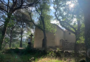
belle randonnée