


6,5 km | 7,4 km-effort

Usuario GUIDE


Aplicación GPS de excursión GRATIS
 SityTrail
IGN / Institutos geográficos
SityTrail World
El mundo es suyo
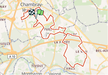
Ruta Senderismo de 26 km a descubrir en Centro, Indre y Loira, Chambray-lès-Tours. Esta ruta ha sido propuesta por Orcal37.
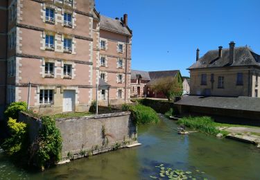
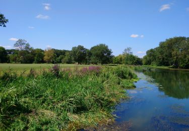
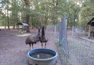
Chambray-lès-Tours - Sentier au travers des landes avec variantes - GR46 - 26.2km 170m 5h35 (1h) - 2024 10 16
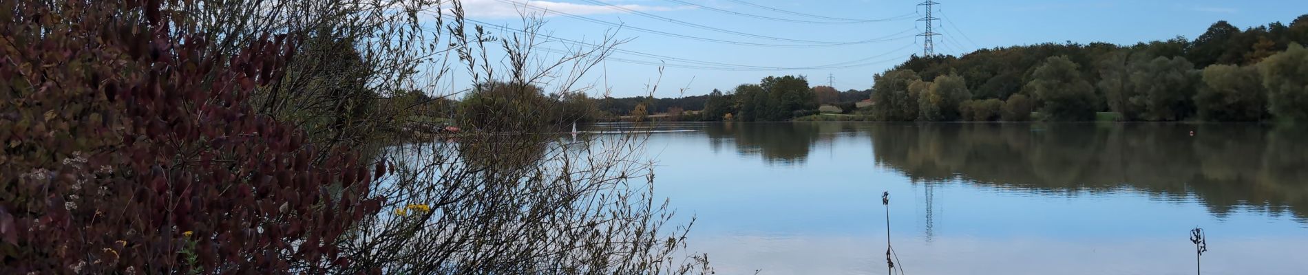
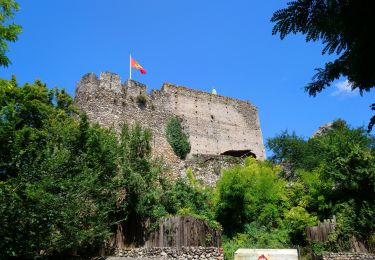
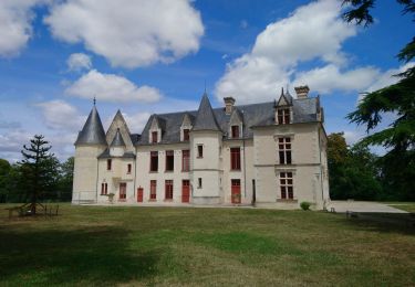
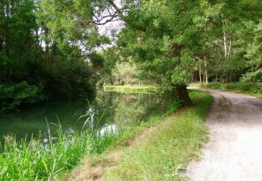
 - 2024 10 16 - Photo 1")
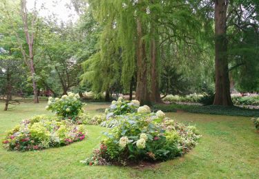
 - 2024 10 16 - Photo 2")
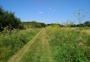
 - 2024 10 16 - Photo 3")
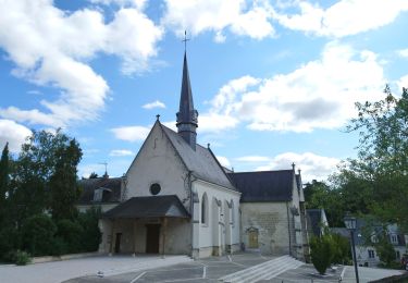
 - 2024 10 16 - Photo 4")
 - 2024 10 16 - Photo 5")
 - 2024 10 16 - Photo 6")
 - 2024 10 16 - Photo 7")
 - 2024 10 16 - Photo 8")
 - 2024 10 16 - Photo 9")
 - 2024 10 16 - Photo 10")
 - 2024 10 16 - Photo 11")
 - 2024 10 16 - Photo 12")
Senderismo
Senderismo
Senderismo
Senderismo
Senderismo
Senderismo
Senderismo
Senderismo
Senderismo