


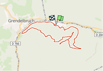


14,9 km | 21 km-effort

Usuario


Aplicación GPS de excursión GRATIS
 SityTrail
IGN / Institutos geográficos
SityTrail World
El mundo es suyo
Ruta Senderismo de 10,2 km a descubrir en Gran Este, Bajo-Rin, Rosheim. Esta ruta ha sido propuesta por jean charles daniel..
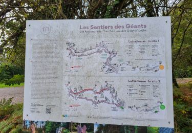
circuit chercheurs d or Rosheim d
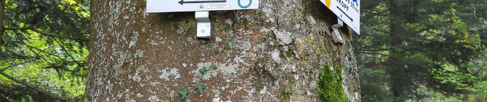
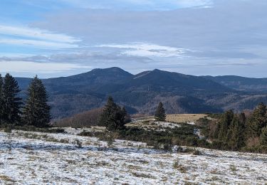
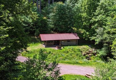
ep 8 chemin de la fischhutte vieux château purpurkopf


28 fotos en total. Haga clic en una foto para mostrarlas todas en la galería.

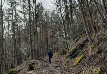
Senderismo

Senderismo

Paseo ecuestre
Senderismo
Paseo ecuestre

Caballo
Senderismo
Senderismo
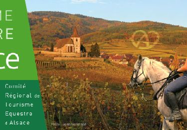
Paseo ecuestre