


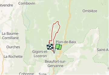

11 km | 18,1 km-effort


Usuario


Aplicación GPS de excursión GRATIS
 SityTrail
IGN / Institutos geográficos
SityTrail World
El mundo es suyo
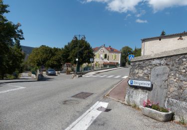
Ruta Senderismo de 15,2 km a descubrir en Auvergne-Rhône-Alpes, Drôme, Gigors-et-Lozeron. Esta ruta ha sido propuesta por Danielle07.
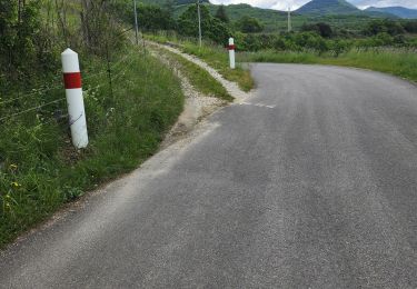
le début du sentier descendant vers combe noire est envahi par les ronces mais ça passe bien et la combe est très belle, suivre les cairns.
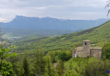
Senderismo
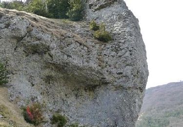
Senderismo

Senderismo

Senderismo

Senderismo
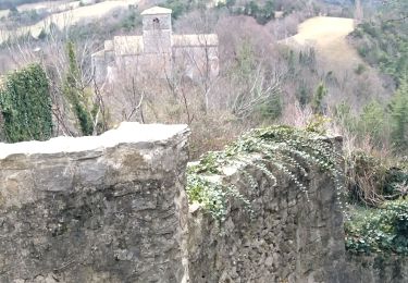
Senderismo

Senderismo
Senderismo
Senderismo