


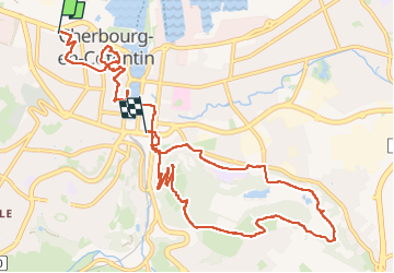

6,6 km | 8,7 km-effort


Usuario GUIDE


Aplicación GPS de excursión GRATIS
 SityTrail
IGN / Institutos geográficos
SityTrail World
El mundo es suyo
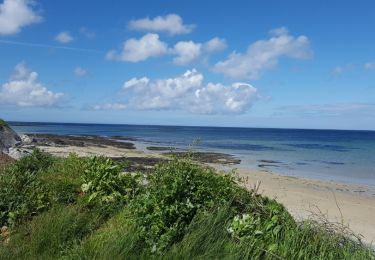
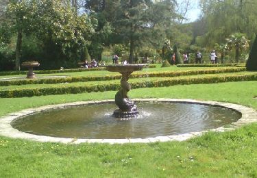
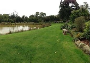
Ruta A pie de 12,2 km a descubrir en Normandía, Mancha, Cherbourg-en-Cotentin. Esta ruta ha sido propuesta por chessyca.
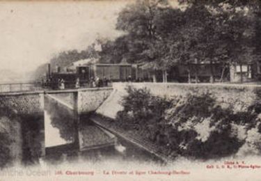
Cherbourg historique et boucle pour pour coller avec les horaires du train de retour


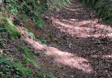
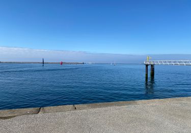
Senderismo
Bici de carretera
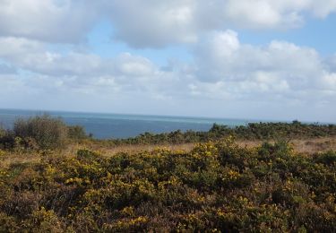
Senderismo
Senderismo
Bici de montaña
Bici de montaña

Senderismo
Senderismo
Senderismo