


24 km | 29 km-effort

Usuario GUIDE


Aplicación GPS de excursión GRATIS
 SityTrail
IGN / Institutos geográficos
SityTrail World
El mundo es suyo
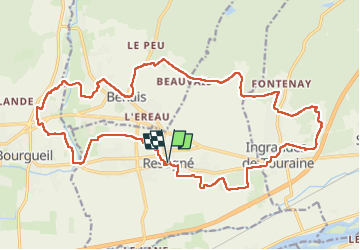
Ruta Senderismo de 24 km a descubrir en Centro, Indre y Loira, Restigné. Esta ruta ha sido propuesta por Orcal37.
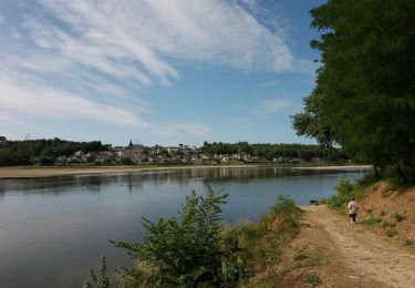
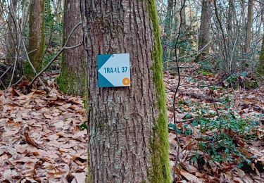
Restigné - Santenay - GRP Coteaux de Bourgueil - Marcé - Benais - Ingrandes-de-Touraine - 24.3km 220m 5h30 (55mn) - 2024 09 28
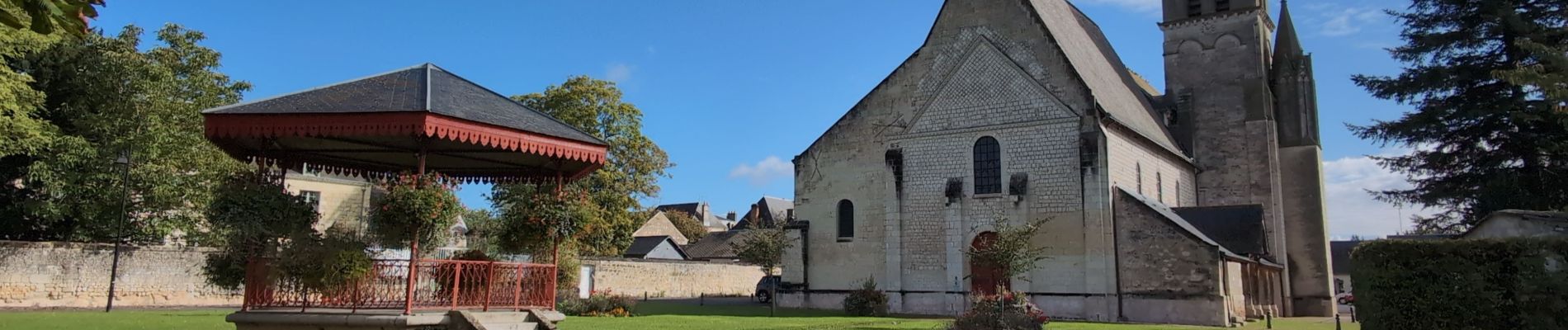
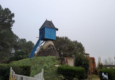
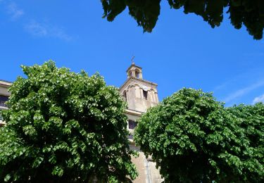
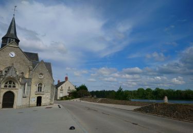
 - 2024 09 28 - Photo 1")
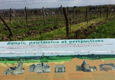
 - 2024 09 28 - Photo 2")
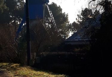
 - 2024 09 28 - Photo 3")
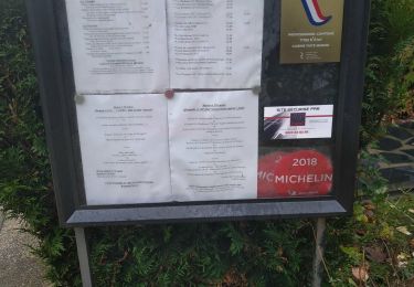
 - 2024 09 28 - Photo 4")
 - 2024 09 28 - Photo 5")
 - 2024 09 28 - Photo 6")
 - 2024 09 28 - Photo 7")
 - 2024 09 28 - Photo 8")
 - 2024 09 28 - Photo 9")
 - 2024 09 28 - Photo 10")
 - 2024 09 28 - Photo 11")
 - 2024 09 28 - Photo 12")
 - 2024 09 28 - Photo 13")
Senderismo
Senderismo
Senderismo

Bici de montaña
Senderismo
Senderismo
Bici eléctrica
Senderismo