


25 km | 36 km-effort


Usuario


Aplicación GPS de excursión GRATIS
 SityTrail
IGN / Institutos geográficos
SityTrail World
El mundo es suyo
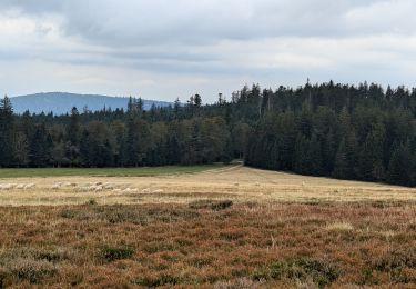
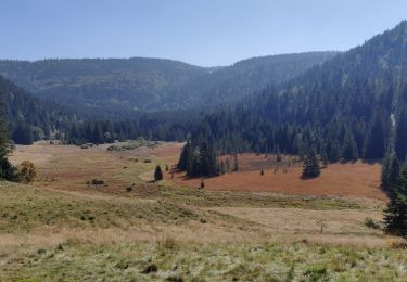
Ruta Senderismo de 21 km a descubrir en Gran Este, Vosgos, Gerbépal. Esta ruta ha sido propuesta por DanielROLLET.
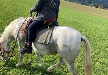
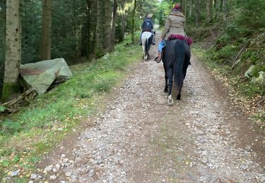
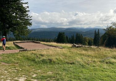
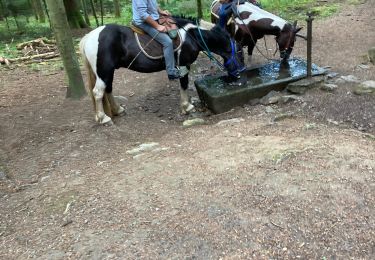
2024 09 19 - Avec Marie - 9h00 à 15h30
21 500m réels avec les erreurs
Beau temps avec une petit brise d'est
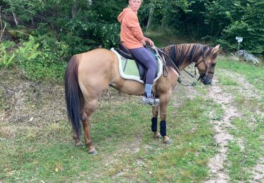
Paseo ecuestre
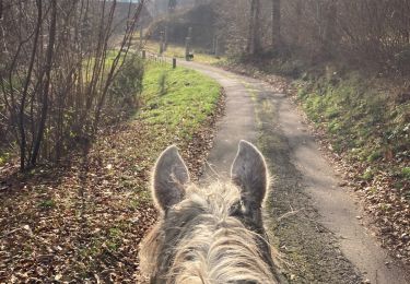
Paseo ecuestre
Senderismo
Paseo ecuestre
Paseo ecuestre
Paseo ecuestre
Paseo ecuestre

sport