![](/images/other/stat-length.png)
![Excursión Senderismo Île-d'Arz - PR_56_Ile-D-Arz_AA_01_Circuit1b_Ile-D'Arz_20240917 - Photo](https://media.geolcdn.com/t/1900/400/1ad1ab61-94d6-4253-9fd9-d7466f6c59f9.jpg&format=pjpeg&maxdim=2)
PR_56_Ile-D-Arz_AA_01_Circuit1b_Ile-D'Arz_20240917
patrickdanilo
Usuario
![Longitud](/images/other/stat-length.png)
Longitud
16,6 km
![Altitud máxima](https://static1.geolcdn.com/siteimages/upload/files/1508320355ic_sort_altitude_max_24dp.png)
Altitud máxima
18 m
![Desnivel positivo](https://static1.geolcdn.com/siteimages/upload/files/1508320355ic_sort_den_pos_24dp.png)
Desnivel positivo
73 m
![Km-Effort](/images/other/stat-length.png)
Km-Effort
17,6 km
![Altitud mínima](https://static1.geolcdn.com/siteimages/upload/files/1508320355ic_sort_altitude_min_24dp.png)
Altitud mínima
-3 m
![Desnivel negativo](https://static1.geolcdn.com/siteimages/upload/files/1508320355ic_sort_den_neg_24dp.png)
Desnivel negativo
73 m
![Boucle](https://static1.geolcdn.com/siteimages/upload/files/16400158638029165_repeat_loop_refresh_sync_direction_icon.png)
Boucle
Sí
Fecha de creación :
2024-09-17 09:07:17.728
Última modificación :
2024-09-20 17:42:50.836
![Senderismo](https://static1.geolcdn.com/sitytour/trail-icons/101.png)
3h39
Dificultad : Muy fácil
![Escanee este código QR para abrir la excursión en la aplicación SityTrail](https://capi.geolives.com/qq0zvz2zws4bq2lad0pu/sitytour/trails/4193110/qr.png?size=200)
Aplicación GPS de excursión GRATIS
A propósito
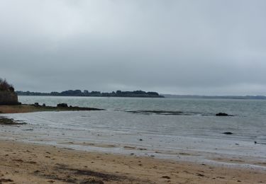
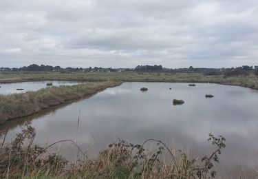
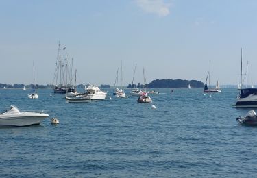
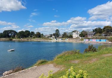
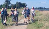
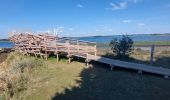
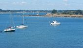
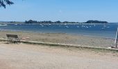
Ruta Senderismo de 16,6 km a descubrir en Bretaña, Morbihan, Île-d'Arz. Esta ruta ha sido propuesta por patrickdanilo.
Descripción
Randonnée Marche de 16,6 km à découvrir à Bretagne, Morbihan, Île-d'Arz. Cette randonnée est proposée par patrickdanilo.
Localización
País:
France
Región :
Bretaña
Departamento/provincia :
Morbihan
Municipio :
Île-d'Arz
Localidad:
Unknown
Salida:(Dec)
Salida:(UTM)
515537 ; 5272494 (30T) N.
Comentarios
Excursiones cerca
![Excursión Senderismo Baden - Ile aux Moines - Photo](https://media.geolcdn.com/t/375/260/ext.jpg?maxdim=2&url=https%3A%2F%2Fservices.sitytrail.com%2FGeolivesWS%2FDownloadMedia.ashx%3FTrailID%3D204495%26Media%3Dfix__20130708163141.jpg)
![Senderismo Senderismo](https://static1.geolcdn.com/sitytour/trail-icons/101.png)
Ile aux Moines
Senderismo
Fácil
(1)
Baden,
Bretaña,
Morbihan,
France
![](/images/other/stat-length.png)
19,8 km | 22 km-effort
4h 53min
![](https://static1.geolcdn.com/siteimages/upload/files/16400158638029165_repeat_loop_refresh_sync_direction_icon.png)
No
![Excursión Senderismo Saint-Armel - Île TASCON- Le Passage 56 - Photo](https://media.geolcdn.com/t/375/260/ext.jpg?maxdim=2&url=https%3A%2F%2Fstatic1.geolcdn.com%2Fsiteimages%2Fupload%2Ffiles%2F1553511878bg_sport_marche.png)
![Senderismo Senderismo](https://static1.geolcdn.com/sitytour/trail-icons/101.png)
Île TASCON- Le Passage 56
Senderismo
Fácil
(1)
Saint-Armel,
Bretaña,
Morbihan,
France
![](/images/other/stat-length.png)
11,5 km | 12,1 km-effort
2h 31min
![](https://static1.geolcdn.com/siteimages/upload/files/16400158638029165_repeat_loop_refresh_sync_direction_icon.png)
Sí
![Excursión Bicicleta Arradon - f-frankrijk-rondje-morbihan - Photo](https://media.geolcdn.com/t/375/260/ext.jpg?maxdim=2&url=https%3A%2F%2Fstatic1.geolcdn.com%2Fsiteimages%2Fupload%2Ffiles%2F1524743154velo.jpg)
![Bicicleta Bicicleta](https://static1.geolcdn.com/sitytour/trail-icons/200.png)
f-frankrijk-rondje-morbihan
Bicicleta
Muy fácil
(2)
Arradon,
Bretaña,
Morbihan,
France
![](/images/other/stat-length.png)
36 km | 42 km-effort
Desconocido
![](https://static1.geolcdn.com/siteimages/upload/files/16400158638029165_repeat_loop_refresh_sync_direction_icon.png)
Sí
![Excursión Senderismo Île-aux-Moines - moines - Photo](https://media.geolcdn.com/t/375/260/ext.jpg?maxdim=2&url=https%3A%2F%2Fstatic1.geolcdn.com%2Fsiteimages%2Fupload%2Ffiles%2F1553511878bg_sport_marche.png)
![Senderismo Senderismo](https://static1.geolcdn.com/sitytour/trail-icons/101.png)
moines
Senderismo
Fácil
(2)
Île-aux-Moines,
Bretaña,
Morbihan,
France
![](/images/other/stat-length.png)
18,2 km | 21 km-effort
4h 7min
![](https://static1.geolcdn.com/siteimages/upload/files/16400158638029165_repeat_loop_refresh_sync_direction_icon.png)
No
![Excursión Senderismo Séné - PR_56_Sene_IA_09_Circuit1b_Sentier-Des-Gabelous_20240311 - Photo](https://media.geolcdn.com/t/375/260/c2ea644e-e03f-4409-ac55-71c5dee67584.jpg&format=jpg&maxdim=2)
![Senderismo Senderismo](https://static1.geolcdn.com/sitytour/trail-icons/101.png)
PR_56_Sene_IA_09_Circuit1b_Sentier-Des-Gabelous_20240311
Senderismo
Muy fácil
Séné,
Bretaña,
Morbihan,
France
![](/images/other/stat-length.png)
10,1 km | 11 km-effort
1h 53min
![](https://static1.geolcdn.com/siteimages/upload/files/16400158638029165_repeat_loop_refresh_sync_direction_icon.png)
Sí
![Excursión Senderismo Saint-Armel - PR_56_St-Armel_AA_01_Circuit1b_Le-Marais-Salant-De-Lasne_20231222 - Photo](https://media.geolcdn.com/t/375/260/0843618c-a073-4181-b237-858d69aa3eda.jpg&format=jpg&maxdim=2)
![Senderismo Senderismo](https://static1.geolcdn.com/sitytour/trail-icons/101.png)
PR_56_St-Armel_AA_01_Circuit1b_Le-Marais-Salant-De-Lasne_20231222
Senderismo
Muy fácil
Saint-Armel,
Bretaña,
Morbihan,
France
![](/images/other/stat-length.png)
12,6 km | 13,4 km-effort
2h 39min
![](https://static1.geolcdn.com/siteimages/upload/files/16400158638029165_repeat_loop_refresh_sync_direction_icon.png)
Sí
![Excursión Senderismo Arradon - PR_56_Arradon_FA_06_Circuit1b_Des-2-Pointes_20230514 - Photo](https://media.geolcdn.com/t/375/260/668f1ba7-274b-472a-a6c4-0b80cb5f53bc.jpg&format=jpg&maxdim=2)
![Senderismo Senderismo](https://static1.geolcdn.com/sitytour/trail-icons/101.png)
PR_56_Arradon_FA_06_Circuit1b_Des-2-Pointes_20230514
Senderismo
Fácil
Arradon,
Bretaña,
Morbihan,
France
![](/images/other/stat-length.png)
12,3 km | 14,2 km-effort
3h 13min
![](https://static1.geolcdn.com/siteimages/upload/files/16400158638029165_repeat_loop_refresh_sync_direction_icon.png)
Sí
![Excursión Senderismo Île-aux-Moines - PR_56_Ile-Aux-Moines_AA_01_Circuit1b_Le-Tour-De-L-Ile-Aux-Moines_20230415 - Photo](https://media.geolcdn.com/t/375/260/f5556595-ba51-46ee-9702-9eabd9dcdf49.jpg&format=jpg&maxdim=2)
![Senderismo Senderismo](https://static1.geolcdn.com/sitytour/trail-icons/101.png)
PR_56_Ile-Aux-Moines_AA_01_Circuit1b_Le-Tour-De-L-Ile-Aux-Moines_20230415
Senderismo
Muy difícil
Île-aux-Moines,
Bretaña,
Morbihan,
France
![](/images/other/stat-length.png)
19,7 km | 22 km-effort
5h 1min
![](https://static1.geolcdn.com/siteimages/upload/files/16400158638029165_repeat_loop_refresh_sync_direction_icon.png)
Sí
![Excursión Senderismo Séné - PR_56_Sene_FA_06_Circuit3b_Le-Bourg-Et-Ses-Rivages_20230206 - Photo](https://media.geolcdn.com/t/375/260/169b12f8-5799-478a-8a15-2ebf012a9c5c.jpg&format=jpg&maxdim=2)
![Senderismo Senderismo](https://static1.geolcdn.com/sitytour/trail-icons/101.png)
PR_56_Sene_FA_06_Circuit3b_Le-Bourg-Et-Ses-Rivages_20230206
Senderismo
Fácil
Séné,
Bretaña,
Morbihan,
France
![](/images/other/stat-length.png)
3,3 km | 3,6 km-effort
43min
![](https://static1.geolcdn.com/siteimages/upload/files/16400158638029165_repeat_loop_refresh_sync_direction_icon.png)
Sí