18,3 km | 23 km-effort
zap 2024 sexey aux forges
ISAGIL
Usuario
Longitud
12,9 km
Altitud máxima
355 m
Desnivel positivo
251 m
Km-Effort
16,3 km
Altitud mínima
210 m
Desnivel negativo
253 m
Boucle
Sí
Fecha de creación :
2024-09-05 11:54:15.657
Última modificación :
2024-09-05 15:42:14.406
3h47
Dificultad : Difícil
Aplicación GPS de excursión GRATIS
A propósito
Ruta Senderismo de 12,9 km a descubrir en Gran Este, Meurthe y Mosela, Sexey-aux-Forges. Esta ruta ha sido propuesta por ISAGIL.
Descripción
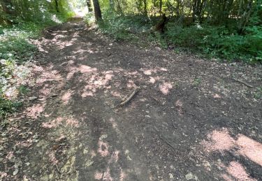
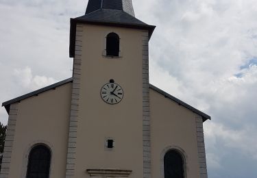
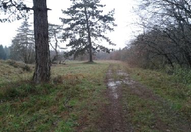
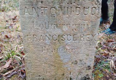
sexey chapelle ste anne
Localización
País:
France
Región :
Gran Este
Departamento/provincia :
Meurthe y Mosela
Municipio :
Sexey-aux-Forges
Localidad:
Unknown
Salida:(Dec)
Salida:(UTM)
282658 ; 5389630 (32U) N.
Comentarios
Excursiones cerca
Bainville sur Madon
Senderismo
Medio
(3)
Bainville-sur-Madon,
Gran Este,
Meurthe y Mosela,
France
4h 15min
Sí
RANDO DUO AVEC ALEXIS
Senderismo
Difícil
(1)
Villers-lès-Nancy,
Gran Este,
Meurthe y Mosela,
France
38 km | 45 km-effort
10h 19min
No
Sexey Aux Forges
Senderismo
Muy difícil
Sexey-aux-Forges,
Gran Este,
Meurthe y Mosela,
France
31 km | 38 km-effort
2h 38min
No
BAINVILLE SUR MADON - CIRCUIT VOIVRE ET JACQUES CALLOT
Senderismo
Medio
Bainville-sur-Madon,
Gran Este,
Meurthe y Mosela,
France
19,8 km | 24 km-effort
5h 44min
Sí
sentier des croix
Senderismo
Muy fácil
(1)
Viterne,
Gran Este,
Meurthe y Mosela,
France
11,6 km | 13,6 km-effort
3h 10min
Sí
viterne du 14.12.2013
Senderismo
Fácil
(2)
Maizières,
Gran Este,
Meurthe y Mosela,
France
7,6 km | 9,5 km-effort
2h 6min
No
Chaligny 1
Senderismo
Fácil
(1)
Chaligny,
Gran Este,
Meurthe y Mosela,
France
4,9 km | 6,3 km-effort
1h 20min
Sí
Randoguide
Senderismo
Medio
(2)
Maizières,
Gran Este,
Meurthe y Mosela,
France
9,4 km | 12,9 km-effort
2h 19min
Sí
Le chemin des mines
Senderismo
Difícil
Pont-Saint-Vincent,
Gran Este,
Meurthe y Mosela,
France
13 km | 16,6 km-effort
3h 39min
Sí