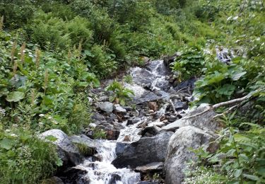
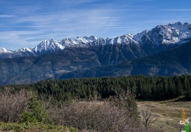
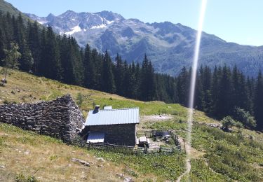
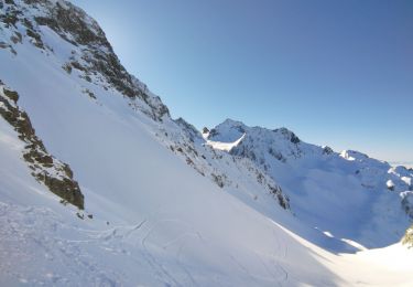
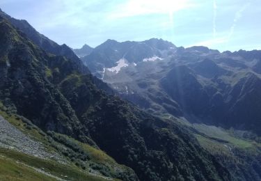
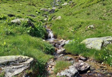
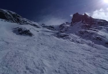
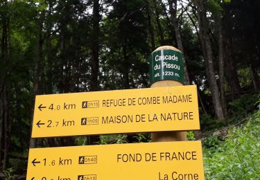
Excursión Senderismo Le Haut-Bréda - La Ferrière. Boucles des chalets de la petite et grande Valloire  - Photo

La Ferrière. Boucles des chalets de la petite et grande Valloire

 Boubouc77
Boubouc77

Usuario

© OpenStreetMap contributors
Longitud
Longitud
10,8 km
Altitud máxima
Altitud máxima
1882 m
Desnivel positivo
Desnivel positivo
894 m
Km-Effort
Km-Effort  
23 km
Altitud mínima
Altitud mínima
984 m
Desnivel negativo
Desnivel negativo
896 m
Boucle
Boucle
Fecha de creación :
2024-08-31 07:54:25.172
Última modificación :
2024-09-01 08:45:39.618

(0 Opinión)

Senderismo
Senderismo
5h36
Dificultad : Muy difícil

Escanee este código QR para abrir la excursión en la aplicación SityTrail

Aplicación GPS de excursión GRATIS

Logo SityTrail SityTrail

IGN / Institutos geográficos

Descargar SityTrail en App Store Descargar SityTrail en Google Play

Logo SityTrail SityTrail World

El mundo es suyo

Descargar SityTrail en App Store Descargar SityTrail en Google Play Descargar SityTrail en Huawei AppGallery

A propósito

Ruta Senderismo de 10,8 km a descubrir en Auvergne-Rhône-Alpes, Isère, Le Haut-Bréda. Esta ruta ha sido propuesta por Boubouc77.

Descripción

Bonne montée et descente, mais boucle très sympa.

Perfil altimétrico

Localización

País:
France
Región :
Auvergne-Rhône-Alpes
Departamento/provincia :
Isère
Municipio :
Le Haut-Bréda
Localidad:
La Ferrière
Salida:(UTM)
271177 ; 5020663 (32T) N.

Excursiones cerca

Excursión Senderismo Le Haut-Bréda - Lac Blanc Lac de la Folle - Photo
Senderismo
GUIDE
nadinebondoux

Senderismo

Muy difícil
(1)
Le Haut-Bréda, Auvergne-Rhône-Alpes, Isère, France
12,2 km | 28 km-effort
6h 59min
Excursión Senderismo Crêts-en-Belledonne - Le Grand Rocher 1926m, depuis le Foyer du Barioz - Photo
Senderismo
tracegps

Senderismo

Medio
(3)
Crêts-en-Belledonne, Auvergne-Rhône-Alpes, Isère, France
9,7 km | 16,6 km-effort
5h 30min
Excursión Senderismo Le Haut-Bréda - Lac de Moretan avec bivouac  - Photo
Senderismo
GUIDE
nadd73

Senderismo

Difícil
Le Haut-Bréda, Auvergne-Rhône-Alpes, Isère, France
22 km | 44 km-effort
9h 4min
Excursión Esquí de fondo Le Haut-Bréda - Col de Morétan - Photo
Esquí de fondo
GUIDE
nadd73

Esquí de fondo

Medio
Le Haut-Bréda, Auvergne-Rhône-Alpes, Isère, France
11,8 km | 31 km-effort
5h 2min
Excursión Senderismo Le Haut-Bréda - Montagne de Périoule - Photo
Senderismo
GUIDE
nadd73

Senderismo

Difícil
Le Haut-Bréda, Auvergne-Rhône-Alpes, Isère, France
12,2 km | 29 km-effort
4h 36min
Excursión Senderismo Le Haut-Bréda - Combe du Prat - Photo
Senderismo
GUIDE
nadinebondoux

Senderismo

Medio
Le Haut-Bréda, Auvergne-Rhône-Alpes, Isère, France
9,5 km | 16,7 km-effort
3h 18min
Excursión Esquí de fondo Le Haut-Bréda - Belle Etoile et Pic des Cabottes couloir S - Photo
Esquí de fondo
GUIDE
nadd73

Esquí de fondo

Muy difícil
Le Haut-Bréda, Auvergne-Rhône-Alpes, Isère, France
15,7 km | 38 km-effort
8h 4min
Excursión Senderismo Le Haut-Bréda - Les lacs sept Claux - Photo
Senderismo
GUIDE
nadinebondoux

Senderismo

Difícil
Le Haut-Bréda, Auvergne-Rhône-Alpes, Isère, France
12,8 km | 27 km-effort
6h 56min
Excursión Senderismo Le Haut-Bréda - cascade du Pissou - Photo
Senderismo
GUIDE
nadinebondoux

Senderismo

Medio
Le Haut-Bréda, Auvergne-Rhône-Alpes, Isère, France
5,9 km | 8,9 km-effort
2h 3min


Cerrar
Mis suscripciones