13,3 km | 17,8 km-effort
bouxieres aux chênes - Blanzey
jean-marie.parachini
Usuario
Longitud
12 km
Altitud máxima
414 m
Desnivel positivo
208 m
Km-Effort
14,7 km
Altitud mínima
281 m
Desnivel negativo
200 m
Boucle
Sí
Fecha de creación :
2024-08-27 12:07:31.196
Última modificación :
2024-08-28 07:40:34.315
19h32
Dificultad : Medio
Aplicación GPS de excursión GRATIS
A propósito
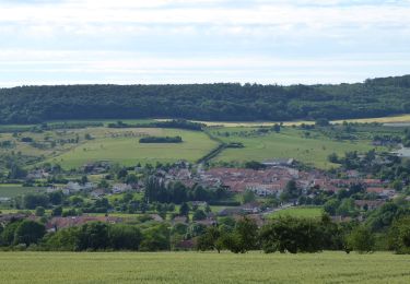
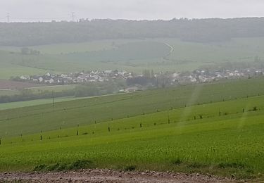
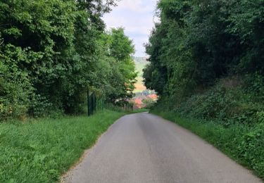
Ruta Senderismo de 12 km a descubrir en Gran Este, Meurthe y Mosela, Bouxières-aux-Chênes. Esta ruta ha sido propuesta por jean-marie.parachini.
Localización
País:
France
Región :
Gran Este
Departamento/provincia :
Meurthe y Mosela
Municipio :
Bouxières-aux-Chênes
Localidad:
Unknown
Salida:(Dec)
Salida:(UTM)
297845 ; 5404811 (32U) N.
Comentarios
Excursiones cerca
Circuit L
A pie
Fácil
Lay-Saint-Christophe,
Gran Este,
Meurthe y Mosela,
France
14,7 km | 18,5 km-effort
4h 11min
Sí
LEYR - LE PLATEAU DE LA ROCHETTE
Senderismo
Fácil
Leyr,
Gran Este,
Meurthe y Mosela,
France
12,1 km | 15,5 km-effort
5h 59min
Sí
MONTENOY - LE COL DE VASSUCHAMP
Senderismo
Fácil
Montenoy,
Gran Este,
Meurthe y Mosela,
France
12,4 km | 16,4 km-effort
4h 33min
Sí
2020-12-11_18h42m13_Eulmont_La tour du Crany_10kms
Senderismo
Difícil
(2)
Eulmont,
Gran Este,
Meurthe y Mosela,
France
9,6 km | 12,6 km-effort
2h 51min
Sí
tour crany 29/5/2019
Senderismo
Muy fácil
(1)
Bouxières-aux-Chênes,
Gran Este,
Meurthe y Mosela,
France
11,1 km | 14 km-effort
3h 42min
Sí
bouxieres aux chênes - la tour de crany
Senderismo
Fácil
Bouxières-aux-Chênes,
Gran Este,
Meurthe y Mosela,
France
11,2 km | 14,2 km-effort
4h 52min
Sí
lay saint Christophe le moulin noir
Senderismo
Fácil
Lay-Saint-Christophe,
Gran Este,
Meurthe y Mosela,
France
12,4 km | 14 km-effort
3h 25min
Sí
Circuit L : Variant Faulx
A pie
Fácil
Faulx,
Gran Este,
Meurthe y Mosela,
France
6,3 km | 6,9 km-effort
1h 34min
No