


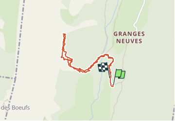


27 km | 31 km-effort

Usuario


Aplicación GPS de excursión GRATIS
 SityTrail
IGN / Institutos geográficos
SityTrail World
El mundo es suyo
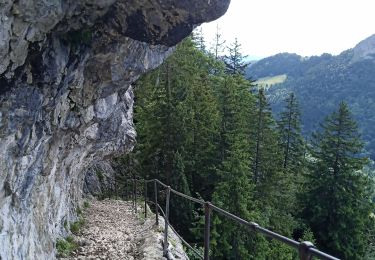
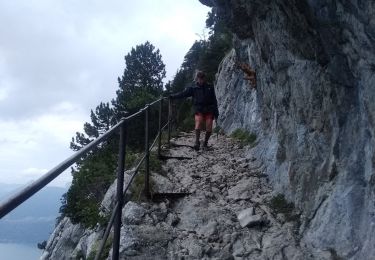
Ruta Senderismo de 2 km a descubrir en Auvergne-Rhône-Alpes, Alta Saboya, Entrevernes. Esta ruta ha sido propuesta por fredtruc27.
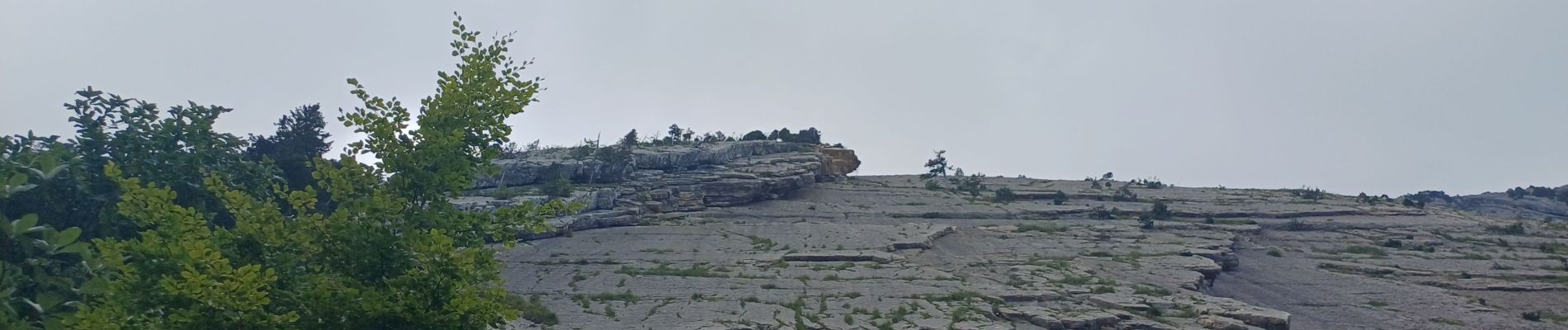
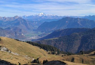
prévision d'un parcours d'alpinisme sur la crête du roc des boeufs.
ce parcours n'est pas à faire si vous voulez simplement faire de la rando


Bici de montaña
Senderismo
Esquí de fondo
Senderismo

Senderismo

Bicicleta
Senderismo
Bici eléctrica
Bici eléctrica