


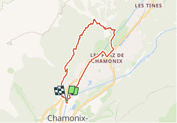

6,1 km | 9,4 km-effort

Usuario


Aplicación GPS de excursión GRATIS
 SityTrail
IGN / Institutos geográficos
SityTrail World
El mundo es suyo
Ruta Senderismo de 7,5 km a descubrir en Auvergne-Rhône-Alpes, Alta Saboya, Chamonix-Mont-Blanc. Esta ruta ha sido propuesta por FLORENSAC.
une jolie boucle et
un petit denivele positif sympa
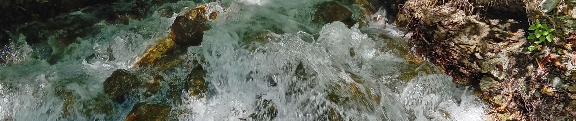
la halte au chalet
piur se desalterer
(pas de reglement par CB)


Senderismo

Carrera

Senderismo

Senderismo

Senderismo

Carrera

Senderismo

Senderismo

Bici de montaña