


24 km | 34 km-effort


Usuario


Aplicación GPS de excursión GRATIS
 SityTrail
IGN / Institutos geográficos
SityTrail World
El mundo es suyo
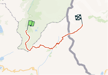
Ruta Senderismo de 19,8 km a descubrir en Auvergne-Rhône-Alpes, Alta Saboya, Les Contamines-Montjoie. Esta ruta ha sido propuesta por Timothée ZARAGORI.
- 13 km - 5H pour aller du Refuge de la Balme au Refuge des Mottets avec 1000de D et 870 de D-
- 8km - 3H pour aller du Refuge des Mottets au Refuge Elisabetha Soldini (en passant par col de la Seigne) avec 800 de D et 350 de D-
Refuge de la Balme - Col du Bonhomme : 1H30 - 3,5km
Col du bonhomme - ville des glaciers : 3H - 7,5km
Ville des glaciers - passage par col des mottets- Col de la Seigne : 4H30 - 11,5km
Col de la seigne - Elisabetha Soldini: 50 min - 1,5km
➡️ Col du Bonhomme ➡️ Partir à gauche sur col Variante du col des fours
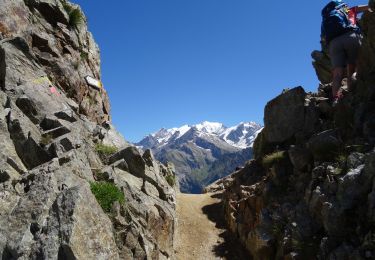
➡️ Col des Fours
➡️ La Ville des Glaciers
➡️ Les Mottets
➡️ Col de la Seigne. : PASSAGE DE LA FRONTIERE FRANCE/ITALIE
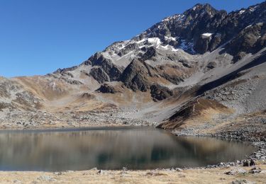
➡️ Refuge Elisabetha (2100m d’altitude)
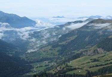
Senderismo

Senderismo
Esquí de fondo
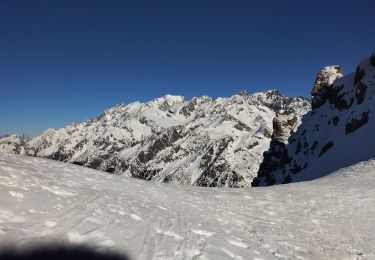
Esquí de fondo

Esquí de fondo
Senderismo
Senderismo
Senderismo
Senderismo