


7,4 km | 9,6 km-effort


Usuario


Aplicación GPS de excursión GRATIS
 SityTrail
IGN / Institutos geográficos
SityTrail World
El mundo es suyo
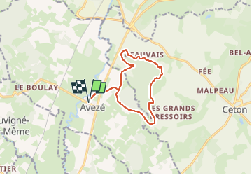
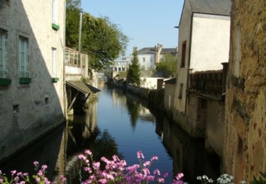
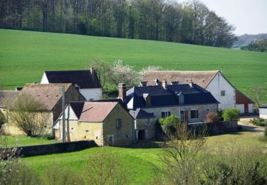
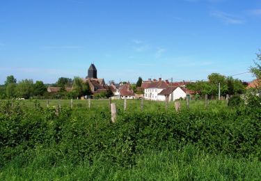
Ruta Senderismo de 11,2 km a descubrir en Países del Loira, Sarthe, Avezé. Esta ruta ha sido propuesta por darkpapa.
départ retour parking salle polyvalente
danger traversée de la rd 323/923
cheminement très agréable en été car ombragé
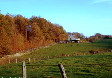
Senderismo
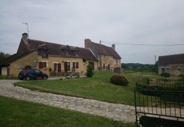
Senderismo
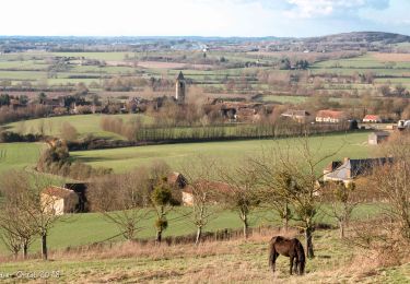
Senderismo
Senderismo
Senderismo
Senderismo

Senderismo
Senderismo
Senderismo