


6,4 km | 11,2 km-effort


Usuario GUIDE


Aplicación GPS de excursión GRATIS
 SityTrail
IGN / Institutos geográficos
SityTrail World
El mundo es suyo
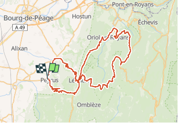
Ruta Bici de carretera de 99 km a descubrir en Auvergne-Rhône-Alpes, Drôme, Peyrus. Esta ruta ha sido propuesta por thonyc.
Les Splendides Routes du Vercors:
Cols de la bataille et de la Machine, Combe Laval
Cols des Limouches et de Tourniol
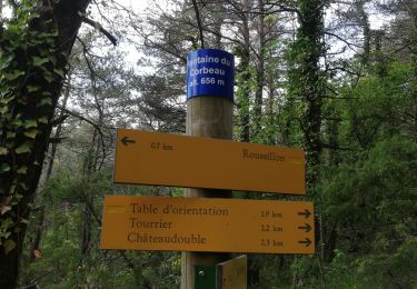
Senderismo

Senderismo

Senderismo

Senderismo
Senderismo

Senderismo

Senderismo
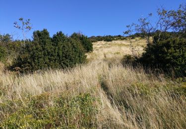
Senderismo

Bici de carretera