


19,4 km | 33 km-effort

Usuario


Aplicación GPS de excursión GRATIS
 SityTrail
IGN / Institutos geográficos
SityTrail World
El mundo es suyo
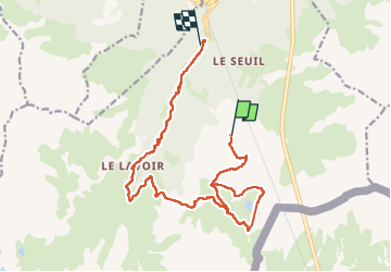
Ruta Senderismo de 17,5 km a descubrir en Auvergne-Rhône-Alpes, Saboya, Modane. Esta ruta ha sido propuesta por zazie.
Télécabine Arrondaz
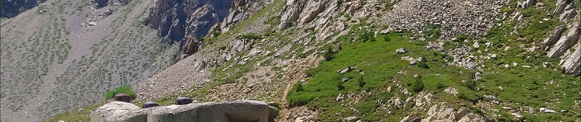
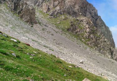
Punta Bagna
Col Arrondaz
Lavoir
Valfréjus
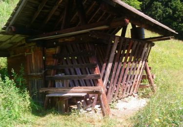
Gîte des tavernes (alsaciennes)


Senderismo

Senderismo

Esquí de fondo

Esquí de fondo

Esquí de fondo

Senderismo

Senderismo
Senderismo
Senderismo