


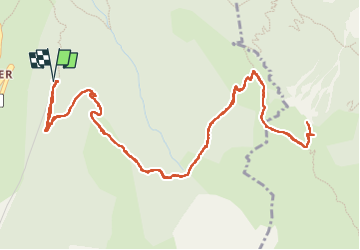

18,4 km | 36 km-effort


Usuario


Aplicación GPS de excursión GRATIS
 SityTrail
IGN / Institutos geográficos
SityTrail World
El mundo es suyo
Ruta Senderismo de 8,2 km a descubrir en Auvergne-Rhône-Alpes, Isère, Ornon. Esta ruta ha sido propuesta por rapako.
Une balade courte mais trop méconnue.
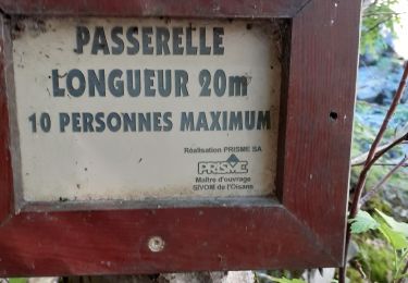
Une montée très souvent à l'ombre des arbres.
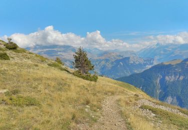
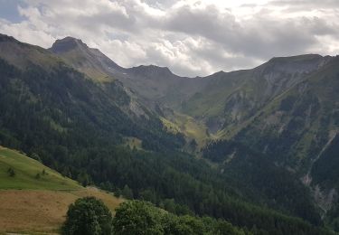
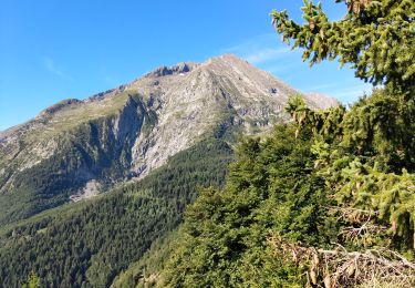
Une vue magnifique arrivé en haut sur tous les massifs environnants : Belledonne, Grandes Rousses, Aiguilles d'Arves, La Meije, Les Renaud, Taillefer

Senderismo
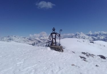
Esquí de fondo

Esquí de fondo
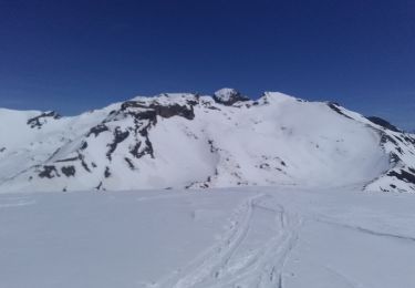
Esquí de fondo
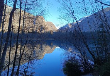
Senderismo
Senderismo
Senderismo
Senderismo
Senderismo