


7,8 km | 9,4 km-effort


Usuario


Aplicación GPS de excursión GRATIS
 SityTrail
IGN / Institutos geográficos
SityTrail World
El mundo es suyo
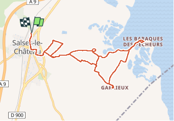
Ruta Senderismo de 12,7 km a descubrir en Occitania, Pirineos Orientales, Salses-le-Château. Esta ruta ha sido propuesta por Santblasi.
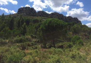
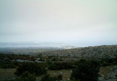
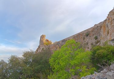
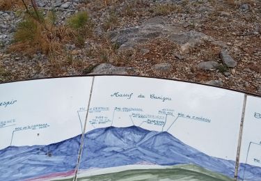
départ parking cave de Salses direction le château d'eau. Prendre à gauche la rue des Soupirs, puis Jean Moulin et au panneau suivre le marquage jaune et les panneaux indicateurs jusqu'au village des pêcheurs. Au retour suivre Garrieux jusqu'à la chapelle puis les indications Sanyes et/ou traces jaunes. Aucune difficulté, nombreux points de vue.
Senderismo
Bici de montaña
Senderismo
Senderismo
Senderismo
Senderismo
Senderismo
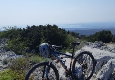
Bici de montaña
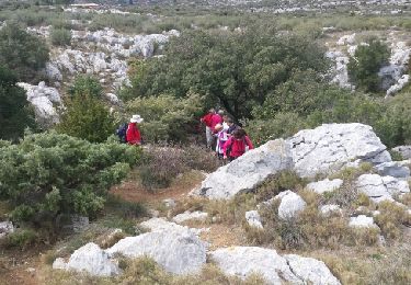
Senderismo