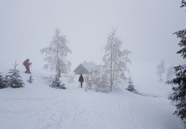
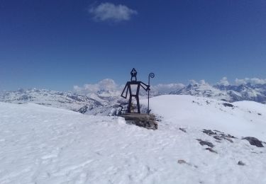
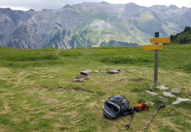
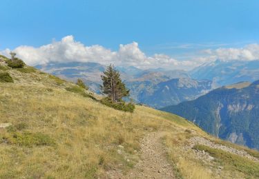
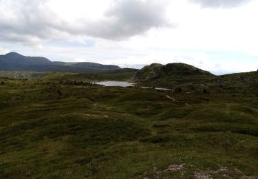
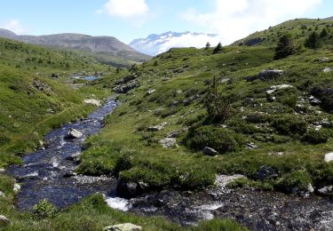
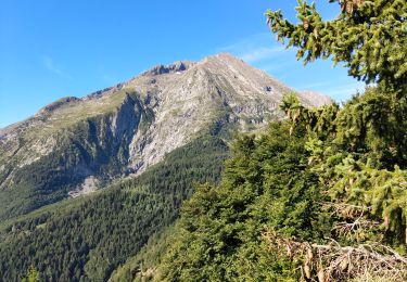
Excursión Senderismo Livet-et-Gavet - RAD ❤️ - Photo
© OpenStreetMap contributors
Longitud
Longitud
2,3 km
Altitud máxima
Altitud máxima
2058 m
Desnivel positivo
Desnivel positivo
0 m
Km-Effort
Km-Effort  
3,6 km
Altitud mínima
Altitud mínima
1655 m
Desnivel negativo
Desnivel negativo
394 m
Boucle
Boucle
No
Fecha de creación :
2024-07-19 07:27:31.0
Última modificación :
2024-07-19 12:09:56.535

(0 Opinión)

Senderismo
Senderismo
3h00
Dificultad : Difícil

Escanee este código QR para abrir la excursión en la aplicación SityTrail

Aplicación GPS de excursión GRATIS

Logo SityTrail SityTrail

IGN / Institutos geográficos

Descargar SityTrail en App Store Descargar SityTrail en Google Play

Logo SityTrail SityTrail World

El mundo es suyo

Descargar SityTrail en App Store Descargar SityTrail en Google Play Descargar SityTrail en Huawei AppGallery

A propósito

Ruta Senderismo de 2,3 km a descubrir en Auvergne-Rhône-Alpes, Isère, Livet-et-Gavet. Esta ruta ha sido propuesta por 000044.2ad2f72c6539441a8a3d5c7144b11829.0905.

Perfil altimétrico

Fotos

Localización

País:
France
Región :
Auvergne-Rhône-Alpes
Departamento/provincia :
Isère
Municipio :
Livet-et-Gavet
Localidad:
Unknown
Salida:(Dec)
Salida:(UTM)
730168 ; 4992948 (31T) N.

Excursiones cerca

Excursión Raquetas de nieve La Morte - Belvedere et Balcon de La Romanche - Photo
Raquetas de nieve
patjobou

Raquetas de nieve

Medio
(1)
La Morte, Auvergne-Rhône-Alpes, Isère, France
10,3 km | 16,8 km-effort
4h 18min
Excursión Senderismo Livet-et-Gavet - lac fourchu 2018 - Photo
Senderismo
goizet

Senderismo

Medio
(1)
Livet-et-Gavet, Auvergne-Rhône-Alpes, Isère, France
10,1 km | 16,5 km-effort
6h 58min
Excursión Esquí de fondo Ornon - Le Taillefer - Photo
Esquí de fondo
GUIDE
nadd73

Esquí de fondo

Medio
Ornon, Auvergne-Rhône-Alpes, Isère, France
19,2 km | 40 km-effort
8h 35min
Excursión Esquí de fondo Oulles - Le Grand Galbert - Photo
Esquí de fondo
GUIDE
nadd73

Esquí de fondo

Medio
Oulles, Auvergne-Rhône-Alpes, Isère, France
10,2 km | 25 km-effort
5h 7min
Excursión Senderismo Lavaldens - Plancol - Photo
Senderismo
patjobou

Senderismo

Medio
Lavaldens, Auvergne-Rhône-Alpes, Isère, France
10,6 km | 19,3 km-effort
5h 6min
Excursión Senderismo Ornon - Plateau des lacs - Photo
Senderismo
ezorzet

Senderismo

Difícil
Ornon, Auvergne-Rhône-Alpes, Isère, France
15,8 km | 27 km-effort
7h 19min
Excursión A pie Livet-et-Gavet - Lac Fourchu (14 juillet 2020) - Photo
A pie
crocau

A pie

Fácil
Livet-et-Gavet, Auvergne-Rhône-Alpes, Isère, France
8,1 km | 13,9 km-effort
3h 9min
Excursión Senderismo Livet-et-Gavet - Plateau des lacs au pied du Taillefer - Photo
Senderismo
GuyVachet

Senderismo

Medio
Livet-et-Gavet, Auvergne-Rhône-Alpes, Isère, France
11,9 km | 19,1 km-effort
6h 16min
Excursión Senderismo Ornon - Plateau des lacs, lac Fourchu. par bergerie - Photo
Senderismo
ezorzet

Senderismo

Medio
Ornon, Auvergne-Rhône-Alpes, Isère, France
12,8 km | 23 km-effort
6h 22min


Cerrar
Mis suscripciones