


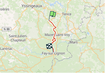

4,6 km | 6,9 km-effort


Usuario


Aplicación GPS de excursión GRATIS
 SityTrail
IGN / Institutos geográficos
SityTrail World
El mundo es suyo
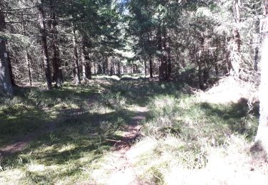
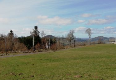
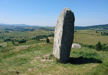
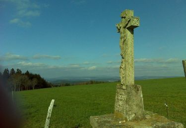
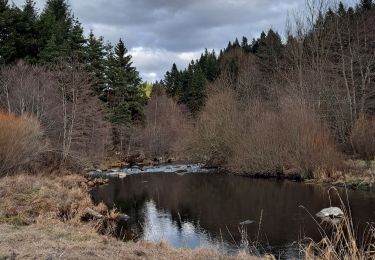
Ruta Paseo ecuestre de 22 km a descubrir en Auvergne-Rhône-Alpes, Alto Loira, Saint-Jeures. Esta ruta ha sido propuesta por crinièresdumeygal.
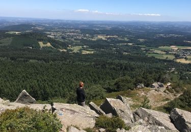
De très beaux chemins... vues magnifiques. Aucune difficulté.Attentionbun chemin de perdait dans les pâtures. nous avons dû faire un détour par la route...A modifier.
Senderismo
Senderismo
Senderismo
Senderismo
Senderismo
Senderismo
Bici de montaña

Senderismo
Senderismo