


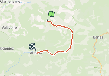

15,2 km | 28 km-effort


Usuario


Aplicación GPS de excursión GRATIS
 SityTrail
IGN / Institutos geográficos
SityTrail World
El mundo es suyo
Ruta Paseo ecuestre de 18,6 km a descubrir en Provenza-Alpes-Costa Azul, Alpes de Alta Provenza, Bayons. Esta ruta ha sido propuesta por AnaisLambert.
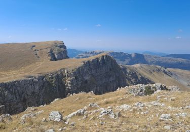
Quelques passages étroits dans les marnes.
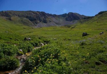
Montée vers le Lac des Monges avec de nombreuses marches.

Senderismo
Senderismo
Senderismo
A pie
Senderismo
Senderismo

Senderismo
Senderismo
Senderismo