


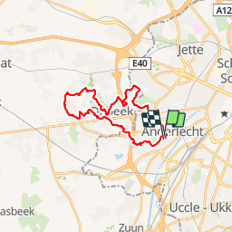

12,8 km | 15,1 km-effort


Usuario


Aplicación GPS de excursión GRATIS
 SityTrail
IGN / Institutos geográficos
SityTrail World
El mundo es suyo
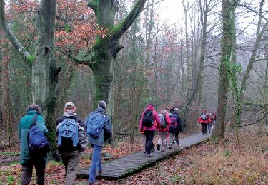
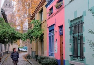
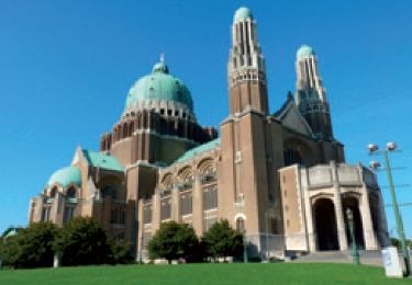
Ruta Senderismo de 23 km a descubrir en Région de Bruxelles-Capitale - Brussels Hoofdstedelijk Gewest, Desconocido, Anderlecht. Esta ruta ha sido propuesta por jojolemarcheur.
Circuit nº5 : D'Anderlecht à Dilbeek, une verte excursion aux portes de Bruxelles.

Senderismo

Senderismo
Senderismo
Senderismo

Senderismo
Senderismo
Senderismo

Senderismo
Senderismo