


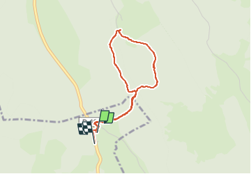

9,1 km | 12,5 km-effort


Usuario


Aplicación GPS de excursión GRATIS
 SityTrail
IGN / Institutos geográficos
SityTrail World
El mundo es suyo
Ruta Senderismo de 3,4 km a descubrir en Borgoña-Franco Condado, Doubs, Châtelblanc. Esta ruta ha sido propuesta por Mady Lambert.
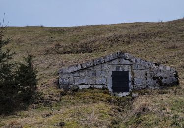
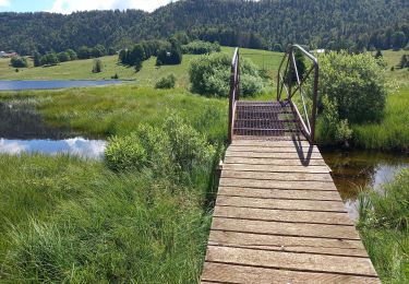
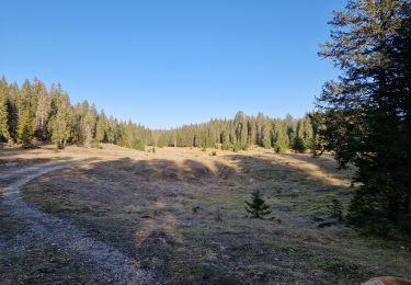
Promenade relativement facile, tout terrain, bâtons utiles et bonnes chaussures.
Senderismo
Senderismo

Bicicleta híbrida
Senderismo

Raquetas de nieve
Senderismo
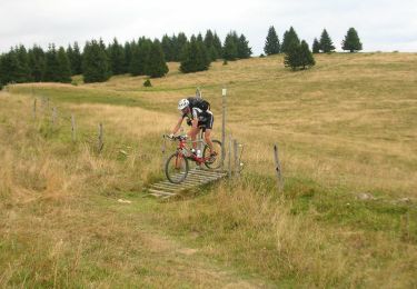
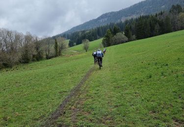
Bici de montaña
Senderismo
Senderismo
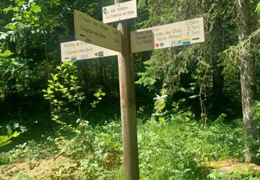
Départ: Parking des pistes de ski à Pré Poncet, D46, entre Chapelle-des-Bois et Chaux Neuve.