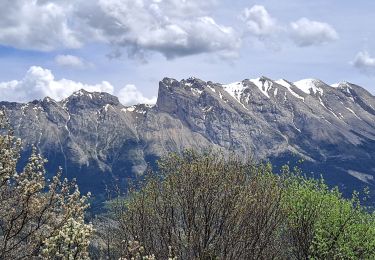
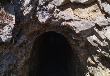
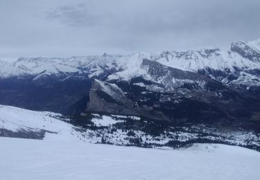
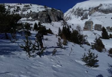
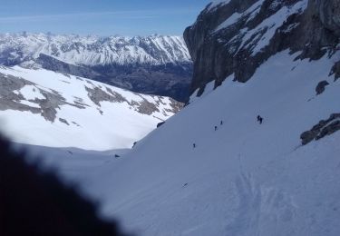
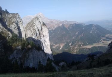
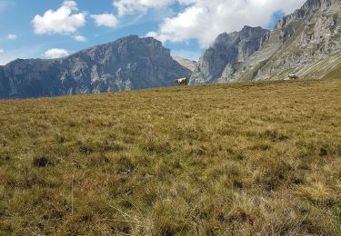
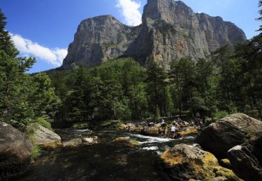
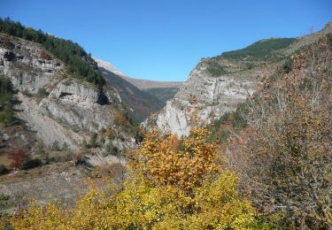
Excursión Senderismo Pellafol - balade - Photo
 xcreator
xcreator

Usuario

© OpenStreetMap contributors
Longitud
Longitud
8,3 km
Altitud máxima
Altitud máxima
1173 m
Desnivel positivo
Desnivel positivo
374 m
Km-Effort
Km-Effort  
12,4 km
Altitud mínima
Altitud mínima
875 m
Desnivel negativo
Desnivel negativo
107 m
Boucle
Boucle
No
Fecha de creación :
2024-07-08 12:45:41.188
Última modificación :
2024-07-08 13:50:17.856

(0 Opinión)

Senderismo
Senderismo
39m
Dificultad : Difícil

Escanee este código QR para abrir la excursión en la aplicación SityTrail

Aplicación GPS de excursión GRATIS

Logo SityTrail SityTrail

IGN / Institutos geográficos

Descargar SityTrail en App Store Descargar SityTrail en Google Play

Logo SityTrail SityTrail World

El mundo es suyo

Descargar SityTrail en App Store Descargar SityTrail en Google Play Descargar SityTrail en Huawei AppGallery

A propósito

Ruta Senderismo de 8,3 km a descubrir en Auvergne-Rhône-Alpes, Isère, Pellafol. Esta ruta ha sido propuesta por xcreator.

Perfil altimétrico

Fotos

Localización

País:
France
Región :
Auvergne-Rhône-Alpes
Departamento/provincia :
Isère
Municipio :
Pellafol
Localidad:
Unknown
Salida:(UTM)
728474 ; 4960059 (31T) N.

Excursiones cerca

Excursión Senderismo Le Dévoluy - Pierre Baudinard - Photo
Senderismo
GUIDE
Marco05

Senderismo

Difícil
Le Dévoluy, Provenza-Alpes-Costa Azul, Altos Alpes, France
11 km | 19,6 km-effort
4h 27min
Excursión Senderismo Pellafol - 38 source gaillarde internet ch fée - Photo
Senderismo
GUIDE
randodyssée

Senderismo

Medio
Pellafol, Auvergne-Rhône-Alpes, Isère, France
13,3 km | 19,9 km-effort
6h 32min
No
Excursión Esquí de fondo Le Dévoluy - col sou la tête d'oriol et crête de la clape - Photo
Esquí de fondo
GUIDE
nadd73

Esquí de fondo

Medio
Le Dévoluy, Provenza-Alpes-Costa Azul, Altos Alpes, France
14,6 km | 31 km-effort
6h 9min
Excursión Esquí de fondo Le Dévoluy - Le Nid - Photo
Esquí de fondo
GUIDE
nadd73

Esquí de fondo

Difícil
Le Dévoluy, Provenza-Alpes-Costa Azul, Altos Alpes, France
15,8 km | 34 km-effort
8h 0min
Excursión Esquí de fondo Le Dévoluy - le pas de la cloche. - Photo
Esquí de fondo
GUIDE
nadd73

Esquí de fondo

Difícil
Le Dévoluy, Provenza-Alpes-Costa Azul, Altos Alpes, France
7,1 km | 19,2 km-effort
6h 15min
No
Excursión Senderismo Le Dévoluy - Le Faraut. Pic pierroux - Photo
Senderismo
GUIDE
nadd73

Senderismo

Medio
Le Dévoluy, Provenza-Alpes-Costa Azul, Altos Alpes, France
10,3 km | 25 km-effort
7h 10min
Excursión Senderismo Pellafol - R44 Le Bénitier - Photo
Senderismo
GUIDE+

Senderismo

Medio
(1)
Pellafol, Auvergne-Rhône-Alpes, Isère, France
14 km | 25 km-effort
3h 0min
Excursión Senderismo Pellafol - R43   Les Gillardes - Photo
Senderismo
GUIDE+

Senderismo

Muy fácil
(2)
Pellafol, Auvergne-Rhône-Alpes, Isère, France
6,1 km | 8,5 km-effort
1h 48min
Excursión Senderismo Le Dévoluy - R30   Le Puits des Bans - Photo
Senderismo
GUIDE+

Senderismo

Fácil
(2)
Le Dévoluy, Provenza-Alpes-Costa Azul, Altos Alpes, France
5,2 km | 6,4 km-effort
3h 8min


Cerrar
Mis suscripciones