


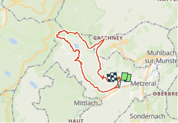

7,6 km | 13,7 km-effort


Usuario


Aplicación GPS de excursión GRATIS
 SityTrail
IGN / Institutos geográficos
SityTrail World
El mundo es suyo
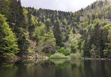
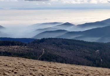
Ruta Senderismo de 16,6 km a descubrir en Gran Este, Alto Rin, Metzeral. Esta ruta ha sido propuesta por oscar1.
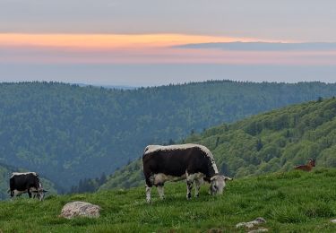
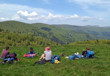
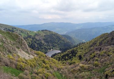
Montée de 7 kms assez raide par moment jusque sur les crêtes. Pour bon marcheur. Belle randonnée avec de beaux de vue.


Senderismo

Bici de montaña

Bici de montaña

Senderismo
Senderismo
Senderismo
Senderismo
Senderismo
Senderismo