


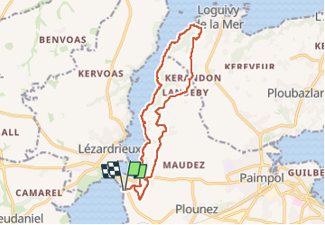

26 km | 31 km-effort

Usuario GUIDE


Aplicación GPS de excursión GRATIS
 SityTrail
IGN / Institutos geográficos
SityTrail World
El mundo es suyo
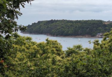
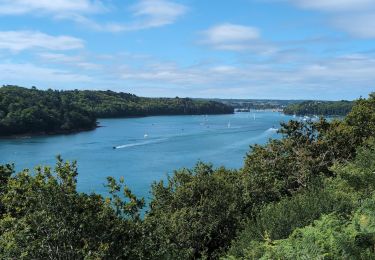
Ruta Senderismo de 14,3 km a descubrir en Bretaña, Côtes-d'Armor, Paimpol. Esta ruta ha sido propuesta por Orcal37.
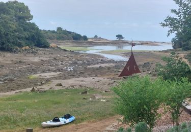
Lézardrieux Plage de Lodano - GR34 - Allée couverte de Mélus à Loguivy-de-la-Mer - 15km 220m 3h45 - 2024 06 28


Senderismo
Senderismo
Senderismo
Senderismo

Senderismo
Senderismo
Senderismo

Senderismo

A pie