


25 km | 36 km-effort

Usuario


Aplicación GPS de excursión GRATIS
 SityTrail
IGN / Institutos geográficos
SityTrail World
El mundo es suyo
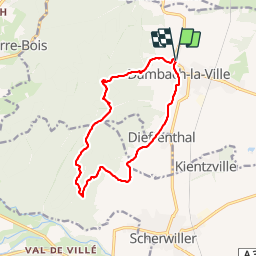
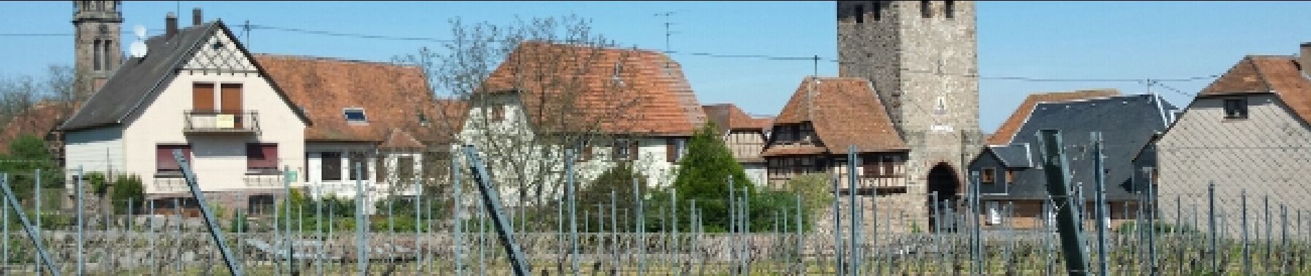
Ruta Senderismo de 13 km a descubrir en Gran Este, Bajo-Rin, Dambach-la-Ville. Esta ruta ha sido propuesta por VacheKiri67.
Faite le 19/04/2015 avec notre fils de 10 ans. D'après : GUIDE ROTHER ALSACE - N°22 Les ruines de Bernstein et d'Ortenbourg par la forêt. La durée indiquée pour le circuit est de 3h45.


22 fotos en total. Haga clic en una foto para mostrarlas todas en la galería.
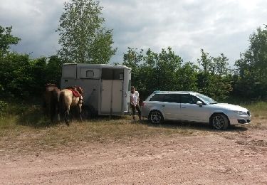
Caballo

Senderismo

Senderismo

Senderismo

Paseo ecuestre

Senderismo
Senderismo

Senderismo

Ruta
Que demander de plus ? Un village typique fortifié avec ses tours, un vignoble, 2 belles ruines à visiter, des points de vue, de la forêt, une source... et de belles aires de pique-nique.