16,2 km | 31 km-effort
Trace Bareges Lac Blanc G2B Guy
mitch1952
Usuario
Longitud
11,6 km
Altitud máxima
2132 m
Desnivel positivo
694 m
Km-Effort
21 km
Altitud mínima
1458 m
Desnivel negativo
693 m
Boucle
Sí
Fecha de creación :
2024-06-21 07:11:40.0
Última modificación :
2024-06-21 13:08:09.043
Aplicación GPS de excursión GRATIS
A propósito
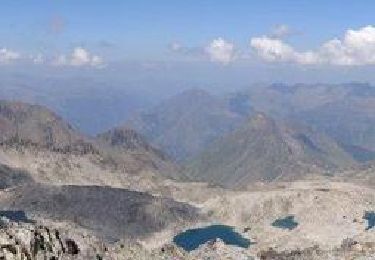
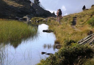
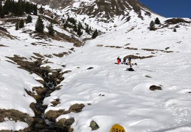
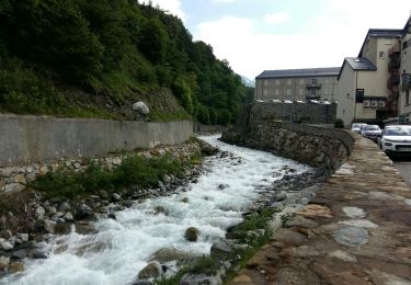
Ruta de 11,6 km a descubrir en Occitania, Altos-Pirineos, Barèges. Esta ruta ha sido propuesta por mitch1952.
Localización
País:
France
Región :
Occitania
Departamento/provincia :
Altos-Pirineos
Municipio :
Barèges
Localidad:
Unknown
Salida:(Dec)
Salida:(UTM)
263495 ; 4754194 (31T) N.
Comentarios
Excursiones cerca
Refuge de Glère brèche de Chaussenque Pic de Neouvielle, lac d'Oredon
Senderismo
Difícil
(1)
Barèges,
Occitania,
Altos-Pirineos,
France
5h 58min
No
Pic des Trois Conseillers
Senderismo
Muy difícil
(1)
Barèges,
Occitania,
Altos-Pirineos,
France
16 km | 34 km-effort
9h 0min
Sí
Pic de Madamète en boucle par les lacs
Senderismo
Difícil
(1)
Barèges,
Occitania,
Altos-Pirineos,
France
21 km | 40 km-effort
9h 0min
Sí
Plateau d’Aoube par la cabane d’Aoube
Paseo ecuestre
Fácil
Sers,
Occitania,
Altos-Pirineos,
France
7,4 km | 15,1 km-effort
4h 43min
Sí
BAREGES le tour des plateaux G4 reco 3264577
Senderismo
Medio
Barèges,
Occitania,
Altos-Pirineos,
France
7,2 km | 11 km-effort
2h 4min
Sí
En boucle, Grand Tourmalet- Aygues Cluses-Col de Madamète- Lac Dets Coubous.
Senderismo
Difícil
(3)
Barèges,
Occitania,
Altos-Pirineos,
France
16,7 km | 32 km-effort
6h 26min
Sí
Bareges St Justin
Senderismo
Muy fácil
Barèges,
Occitania,
Altos-Pirineos,
France
5,2 km | 6,9 km-effort
1h 38min
Sí
BAREGES G4 le tour des plateaux "3430845"
Senderismo
Medio
Sers,
Occitania,
Altos-Pirineos,
France
7,1 km | 11 km-effort
2h 9min
Sí
BAREGES le plateau des lumieres G3 fait "3416084"
Senderismo
Difícil
Barèges,
Occitania,
Altos-Pirineos,
France
9,1 km | 14,1 km-effort
2h 42min
Sí