


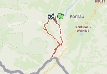


6,4 km | 9,8 km-effort

Usuario


Aplicación GPS de excursión GRATIS
 SityTrail
IGN / Institutos geográficos
SityTrail World
El mundo es suyo
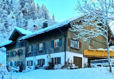
Ruta Senderismo de 6,5 km a descubrir en Baviera, Landkreis Oberallgäu, Oberstdorf. Esta ruta ha sido propuesta por Geert H..
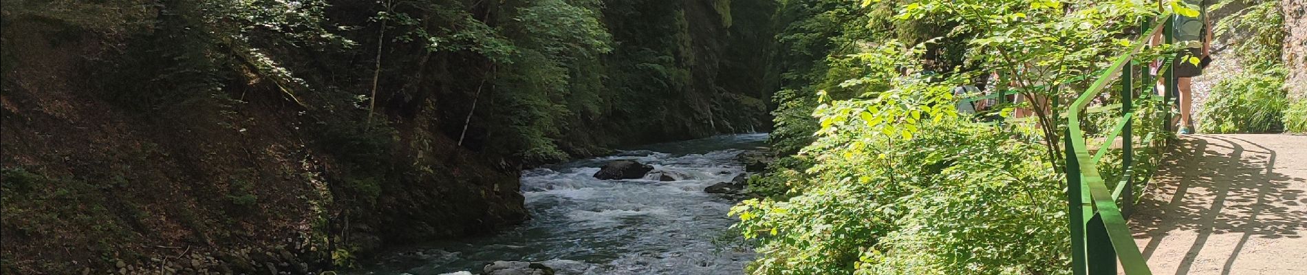
The Breitachklamm is a gorge created by the river Breitach
It is one of the deepest gorges of the Bavarian Alps and the deepest rocky gorge of Central Europe. Every year around 300.000 visitors walk the 2.5 km long path through the gorge.
Parking: € 4
Entrance fee: € 7,50 (2024)


25 fotos en total. Haga clic en una foto para mostrarlas todas en la galería.
A pie
A pie
A pie
A pie

A pie
A pie
A pie

Senderismo
Senderismo