


11,4 km | 14,4 km-effort


Usuario


Aplicación GPS de excursión GRATIS
 SityTrail
IGN / Institutos geográficos
SityTrail World
El mundo es suyo
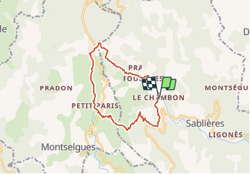
Ruta Senderismo de 12,8 km a descubrir en Auvergne-Rhône-Alpes, Ardecha, Sablières. Esta ruta ha sido propuesta por Drailloun.
Départ du Chambon, au niveau du panneau du hameau (2 places de voitures au bord de la route). Remonter légèrement la route pour prendre à gauche une petite calade (balisage sur le muret). Passer au dessus de Vialaret. Le Martouret - Monter vers les crêtes par un ancien chemin muletier jusqu'à la Borie de Bousquet - La Fouette - Traverser la D4 - On va suivre le GR4 par le Serre de l'Estelle jusqu'à La Narce - On longe la Drobie par un sentier rocheux par endroits - Fourches - On contourne le camping pour revenir au Chambon. Possibilité de parking au camping de la Drobie (nous ne l'avons pas utilisé)
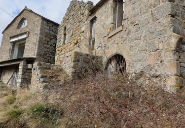
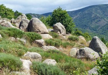
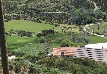
 - Le Chambon - Le Serre de l'Estelle et la Drobie - Photo 1")
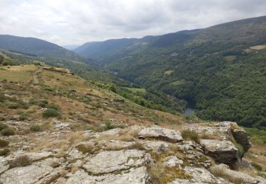
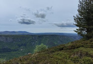
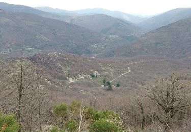
 - Le Chambon - Le Serre de l'Estelle et la Drobie - Photo 2")
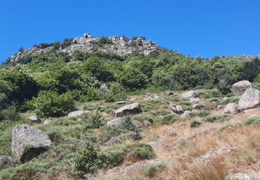
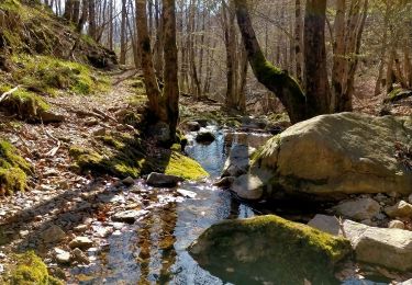
 - Le Chambon - Le Serre de l'Estelle et la Drobie - Photo 3")
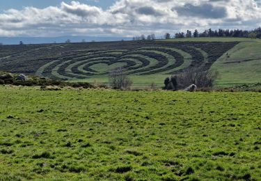
 - Le Chambon - Le Serre de l'Estelle et la Drobie - Photo 4")
 - Le Chambon - Le Serre de l'Estelle et la Drobie - Photo 5")
 - Le Chambon - Le Serre de l'Estelle et la Drobie - Photo 6")
 - Le Chambon - Le Serre de l'Estelle et la Drobie - Photo 7")
 - Le Chambon - Le Serre de l'Estelle et la Drobie - Photo 8")
 - Le Chambon - Le Serre de l'Estelle et la Drobie - Photo 9")
Senderismo
Senderismo
Senderismo
Senderismo
Senderismo
Senderismo
Senderismo
Senderismo
Senderismo